About
The story behind Trek View.
Hi! My name's Dave.
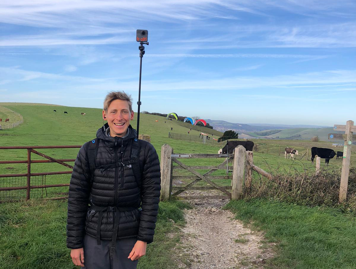
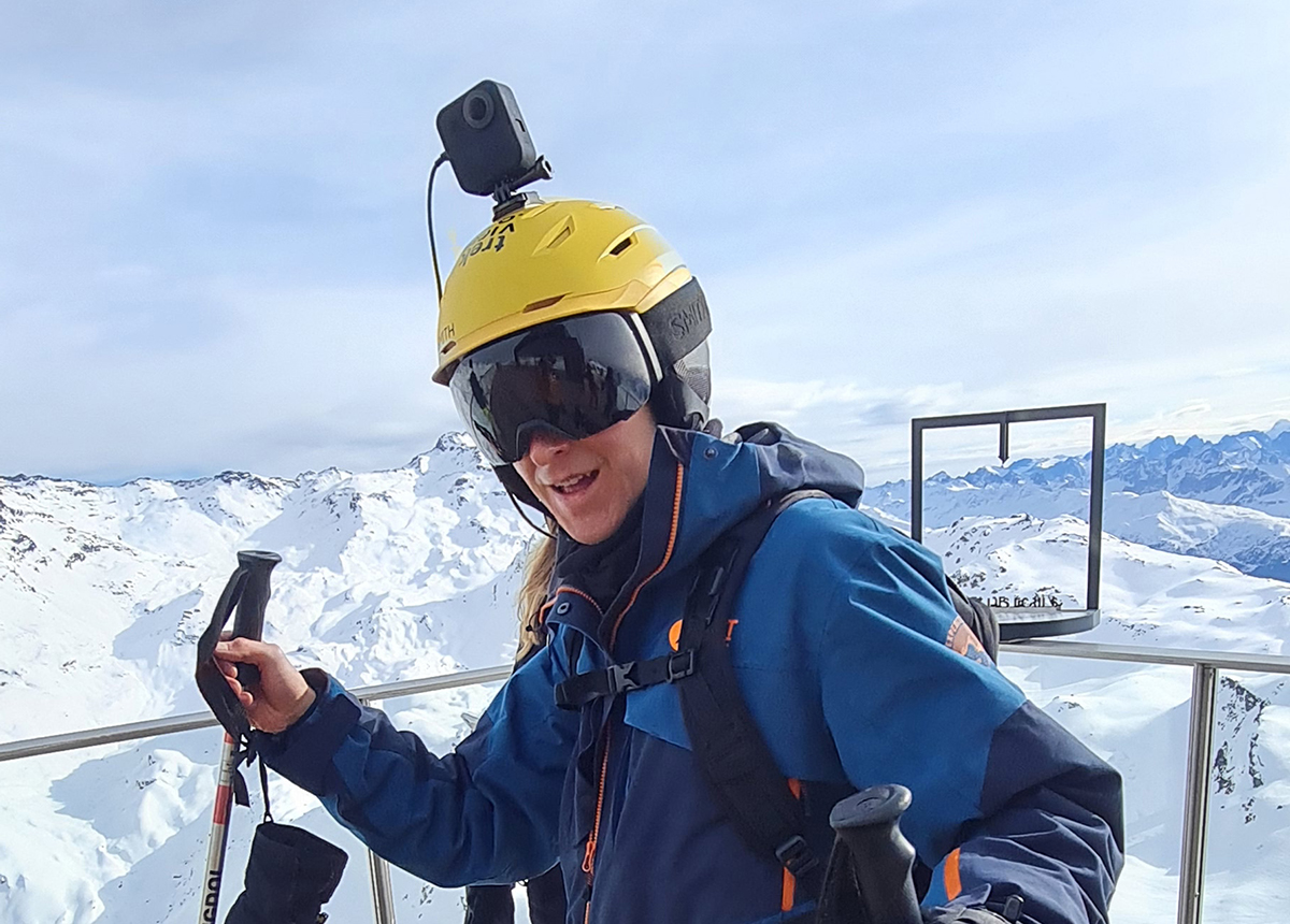
In 2019 I took a GoPro Fusion 360-degree camera and started filming some of my hikes.

Hikes turned into mountain bike trails.
Bike trails into ski runs.
Ski runs into scuba dives.

From the top of Africa to the top of Europe.
The remote Scottish Highlands.
Rivers, Coastlines... and many thousands more kilometers of adventures.
My images quickly attracted millions of views in Mapillary. Viewers asked me how they could do the same, so I showed them.
And so Trek View became a thing.
Looking at the numbers, I realised there was a huge interest for using street-level imagery to map exploration of the natural world -- like Mapillary, but for adventures.
Imagine being able to filter the imagery by altitude, elevation changes, terrain, distance, how they were taken (hike, ski, bike, etc.).
This is exactly what I am working towards.
My aim is share my research, findings, and adventures in the open, via how-to guides on our blog and the code developed on GitHub.
To be the first to hear about progress on this project, subscribe to our newsletter (maximum 1 email per month, and even that might be ambitious!).
I hope you find my content here useful, and that it inspires you to share your adventures on the map!
-dave
