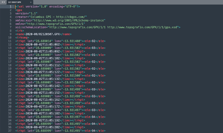
Exiftool is a powerful bit of software for geotagging photos, understanding how the process works will save you a few headaches.
Blog
The latest from the Trek View team.
Guides | Updates | Treks | Developers | ExPODition
-
Lessons learned when geotagging timelapse photos and video frames
Developers October 15, 2021
-
Using trigonometry to calculate north, east, and vertical velocity between photos
Developers October 08, 2021
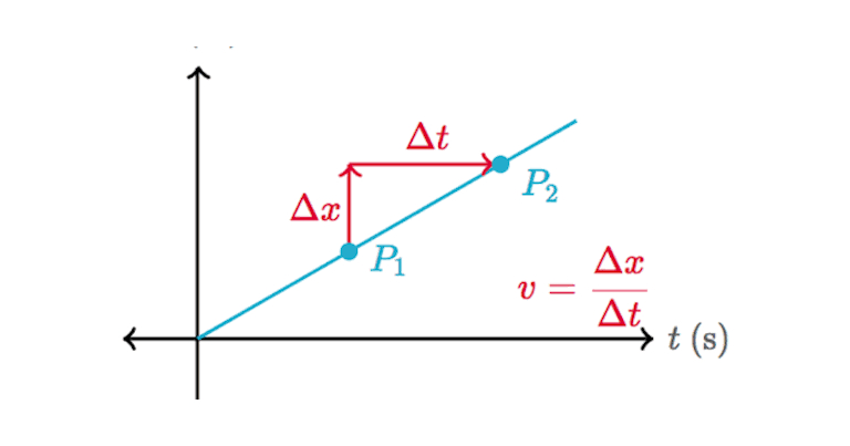
Speed = distance / time. But what about speed along the x (east, west), y (north, south), z (altitude) axes?
-
Reverse Engineering GoPro's 360 Video File Format (Part 4)
Developers October 01, 2021
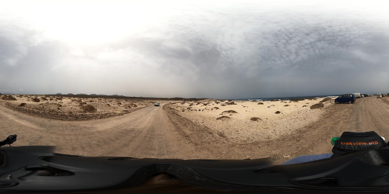
In the final part of this series, I convert a GoPro EAC projected frame into an equirectangular projection to be displayed in other software.
-
Reverse Engineering GoPro's 360 Video File Format (Part 3)
Developers September 24, 2021
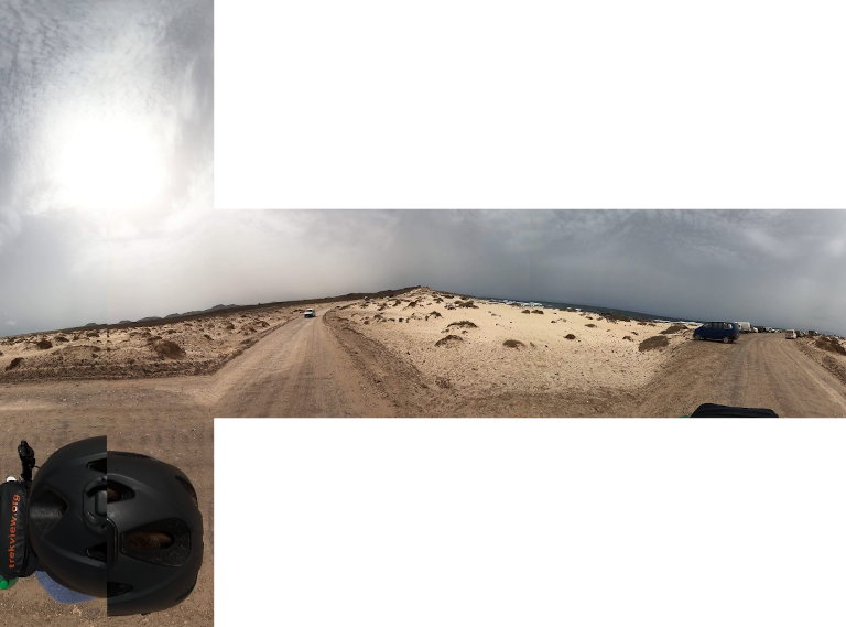
I continue taking apart a .360 file, and trying to rebuild it with a equirectangular projection (without GoPro software).
-
Reverse Engineering GoPro's 360 Video File Format (Part 2)
Developers September 17, 2021
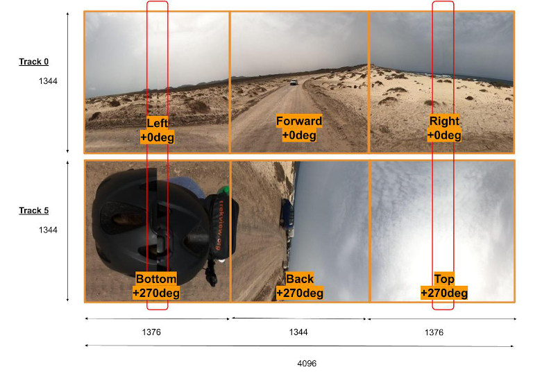
Taking apart a .360 file to reveal its contents to try and understand how it can be processed (without GoPro software).
-
Reverse Engineering GoPro's 360 Video File Format (Part 1)
Developers September 10, 2021
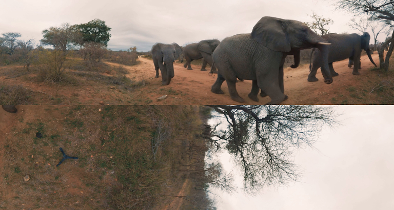
A deeper look into GoPro’s proprietary .360 video format (with the aim of reducing our reliance on GoPro’s software).
-
A deeper look at 360 video projections
Guides September 03, 2021
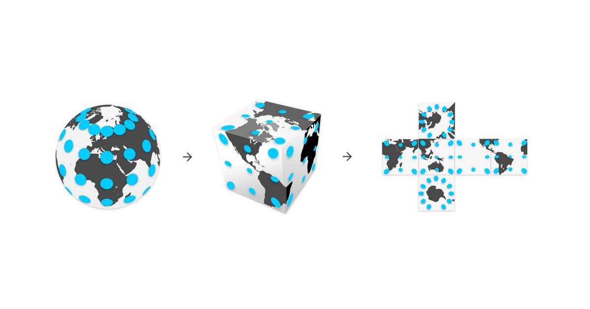
Equirectangular, non-equalangle cubemap, equi-angular cubemap, pyramid…
-
How to read decimal latitude and longitude values like a computer
Developers August 27, 2021
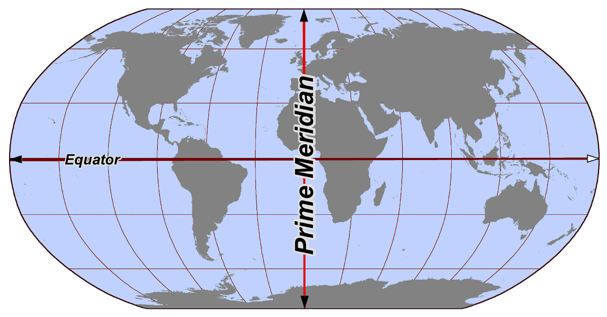
We are often reliant on GPS co-ordinates being delivered to our devices for locating places. With a little practice it’s not hard to read a decimal latitude and longitude value to determine a rough position.
-
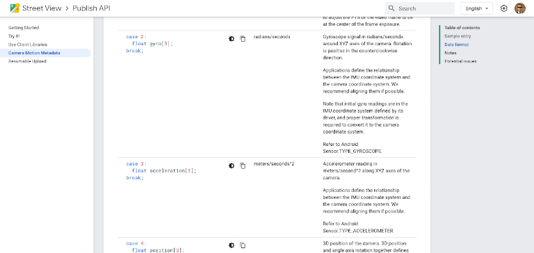
An Introduction to the Camera Motion Metadata (CAMM) standard (video telemetry)
Developers August 20, 2021
With the help of a 360 video shot using an Insta360 Pro2, I take a look at Google’s CAMM video telemetry standard.
-
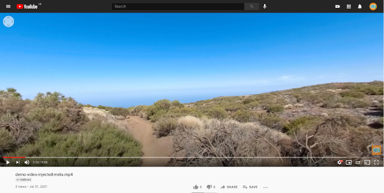
How to Create a 360 Video from a Timelapse of 360 Images (using ffmpeg)
Developers August 13, 2021
A lesson, mostly, in wrangling metadata to ensure proper playback of 360 videos created from a series of photos.
