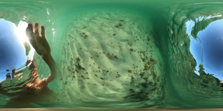
In this post I will compare how the two products stack up with the aim of using the best bits of both to build our own 360 video uploader.
Guides
Tips and tricks from the Trek View team
Blog > Guides
-
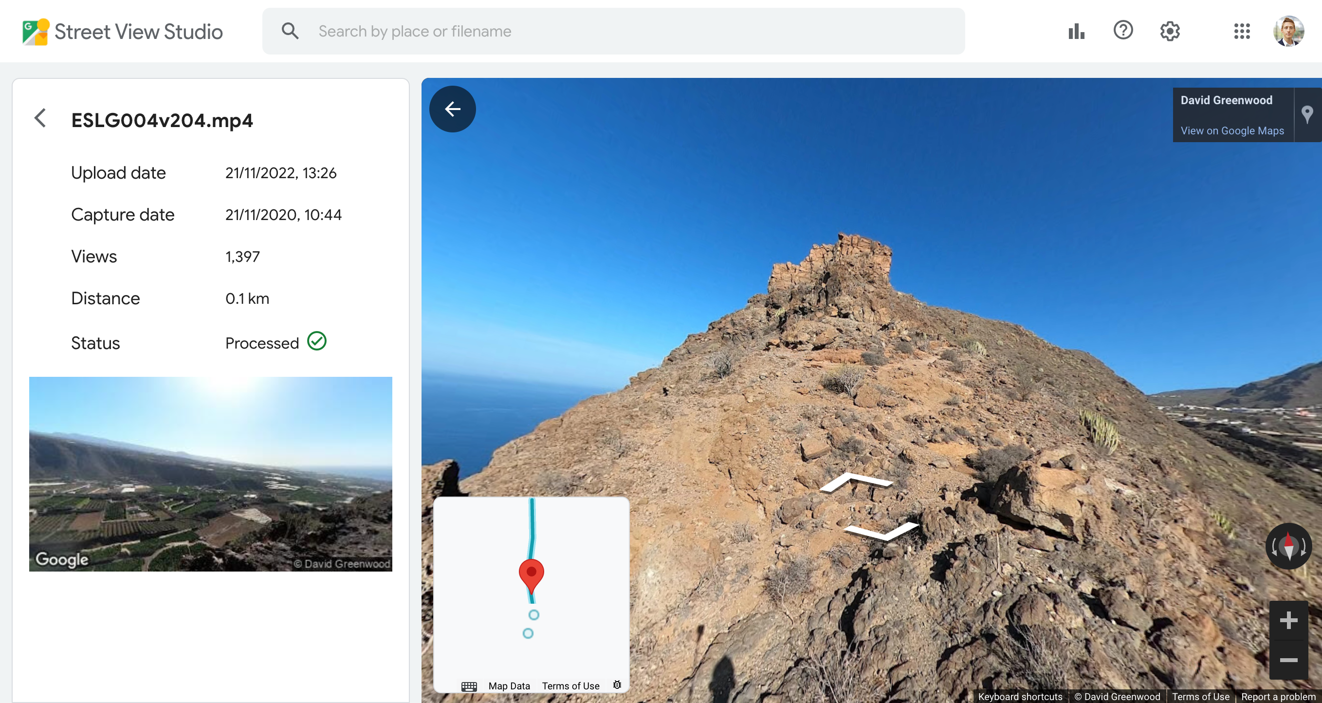
Google Street View Studio versus the Mapillary Desktop Uploader
Guides January 20, 2023
-
Lat,Lon or Lon,Lat?
Guides March 04, 2022
One of the biggest pains of working with geospatial software is determining the way each presents latitude and longitude… or is that longitude and latitude?
-
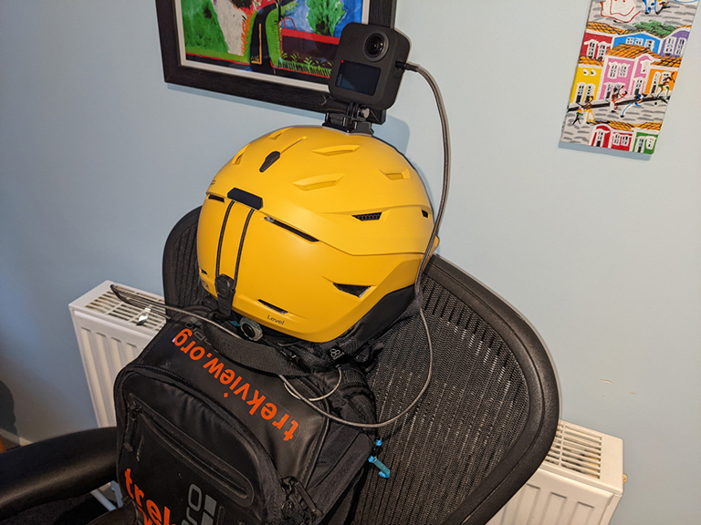
Extending the battery life of a GoPro MAX in cold weather
Guides February 18, 2022
If you’ve ever tried using electronics in very cold weather you might have observed your battery draining quickly.
-
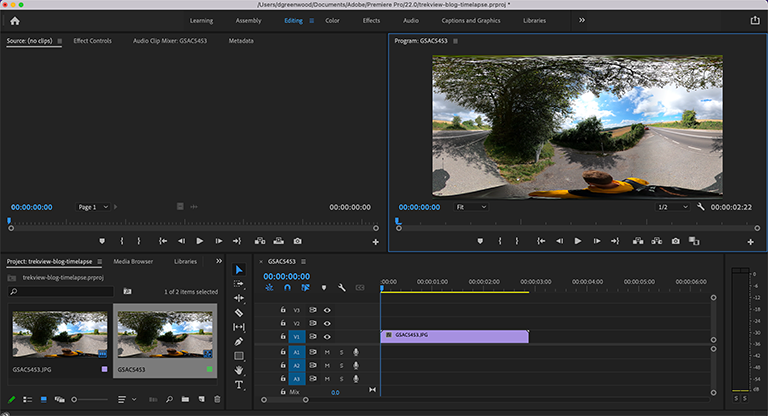
How to Create a 360 Video Timelapse from a Sequence of 360 Images (using Adobe Premiere Pro)
Guides January 21, 2022
A less technical way to create timelapse videos with spherical metadata. No command line in sight (but you will need an Adobe Premiere subscription).
-
Underwater GPS Experiments in Salt Water
Guides December 10, 2021
A DIY science experiment to examine GPS signal loss underwater using a GoPro MAX.
-
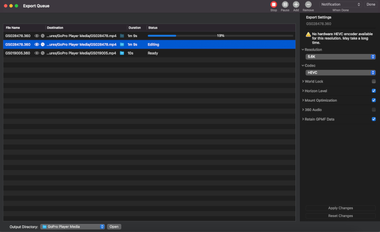
GoPro Studio Settings for Creating Virtual Tour Content
Guides November 19, 2021
Once you’ve shot a video on the MAX, you will need to process it using GoPro Studio. Here are our recommended settings.
-
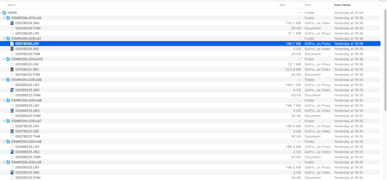
What are GoPro LRV, THM and WAV Files?
Guides November 12, 2021
An explanation of the LRV, THM and WAV files that are generated when you shoot GoPro videos.
-
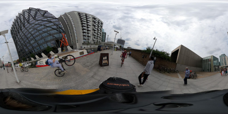
The Legalities of Publishing Photographs for Street View in a Public Place
Guides November 05, 2021
A general guide to the legal considerations when capturing outdoor virtual tours.
-
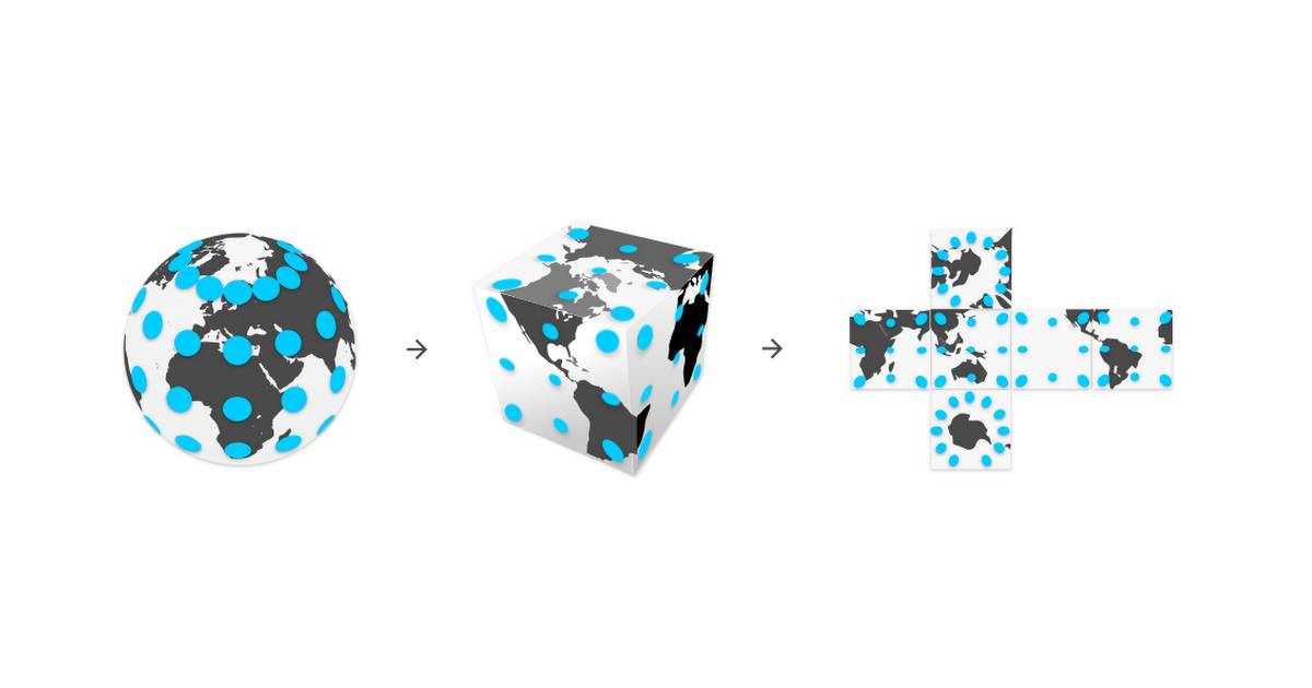
A deeper look at 360 video projections
Guides September 03, 2021
Equirectangular, non-equalangle cubemap, equi-angular cubemap, pyramid…
-
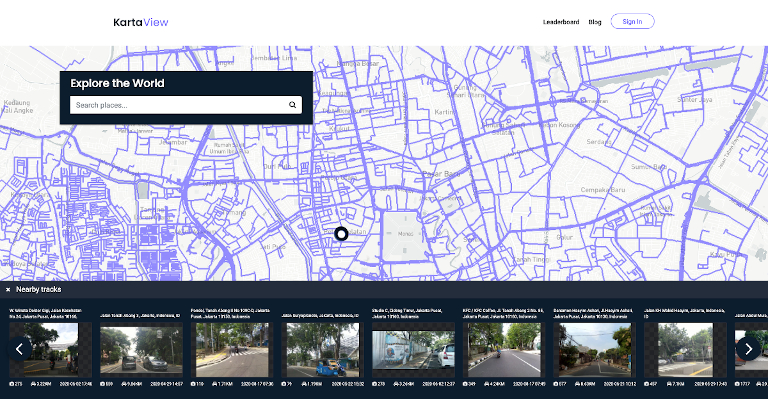
An Introduction to KartaView
Guides July 23, 2021
Formerly named OpenStreetView and then OpenStreetCam, KartaView is a completely open-source street-level image platform.
-
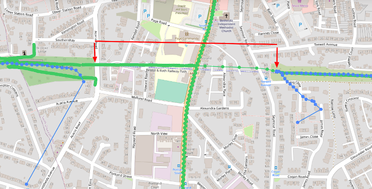
Solutions for tracking your position when underground or under-canopy
Guides June 18, 2021
How to keep track of your position when your line-of-sight to the sky is impeded.
-
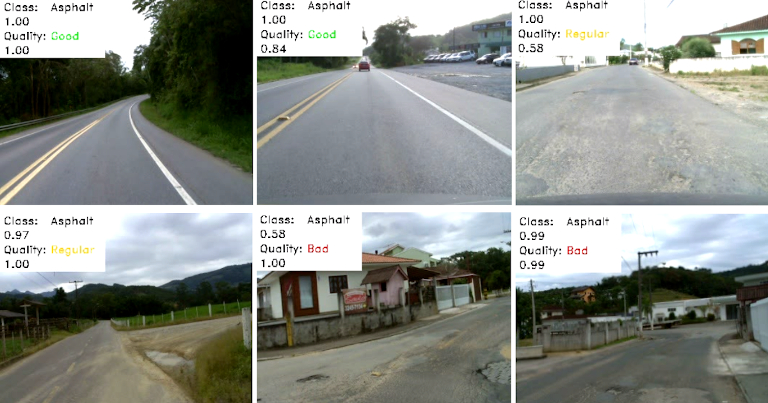
Trek View Trail Quality Index: An Alternative Method Using Computer Vision
Guides May 21, 2021
Using the imagery captured by the Data Bike to measure cycle path surface quality.
-
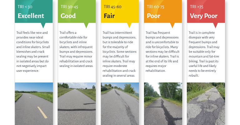
Trek View Trail Quality Index
Guides April 23, 2021
We continue to build out our Data Bike and are now trying to establish a global standard to measure cycle trail quality.
-
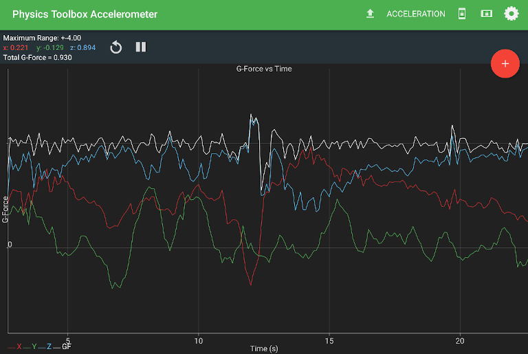
Measuring the Condition of Cycle Paths With Only Your Phone (an update)
Guides April 16, 2021
Two consumer apps that can measure sensor data on your phone to record ride quality.
-
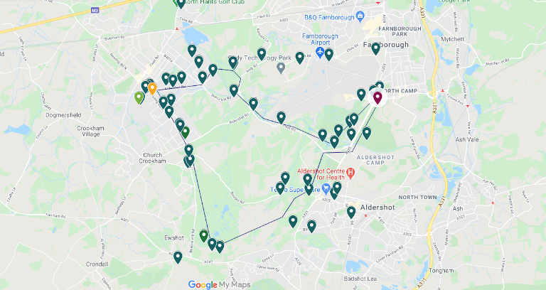
Measuring the Air Quality of Your Trek (Part 2)
Guides April 09, 2021
Our initial thoughts after testing the AtmoTube Pro.
-
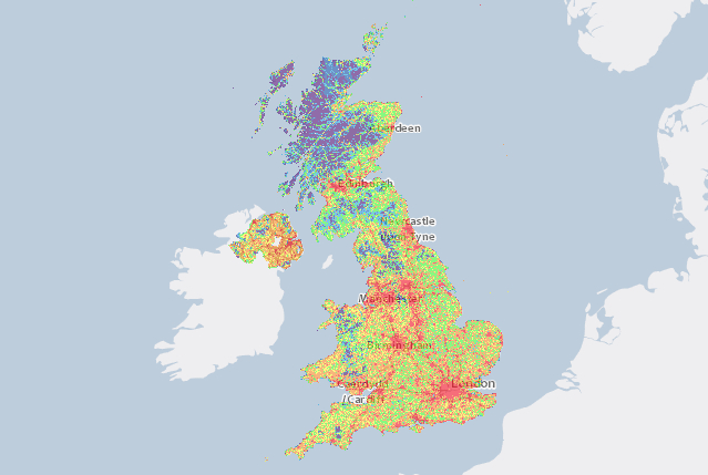
Measuring the Air Quality of Your Trek (Part 1)
Guides April 02, 2021
Our hunt for a device that could measure air quality during adventures.
-
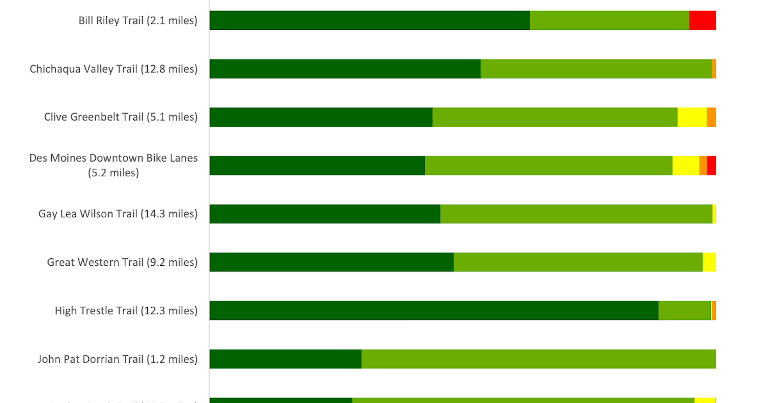
Measuring the Condition of Cycle Paths With Only Your Phone
Guides March 12, 2021
Use the rRuf mobile app on your bicycle to measure the ride quality.
-
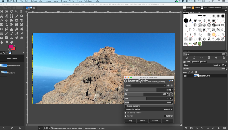
Turn 360 photos to non-360 (flat) photos
Guides February 05, 2021
Use GIMP to transform a 360 photo into a flat photo that looks perfect, and is easy to share.
-
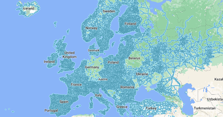
Street View vs. StreetSide vs. Look Around vs. Mapillary
Guides October 02, 2020
How do the major street-level mapping products compare?
-
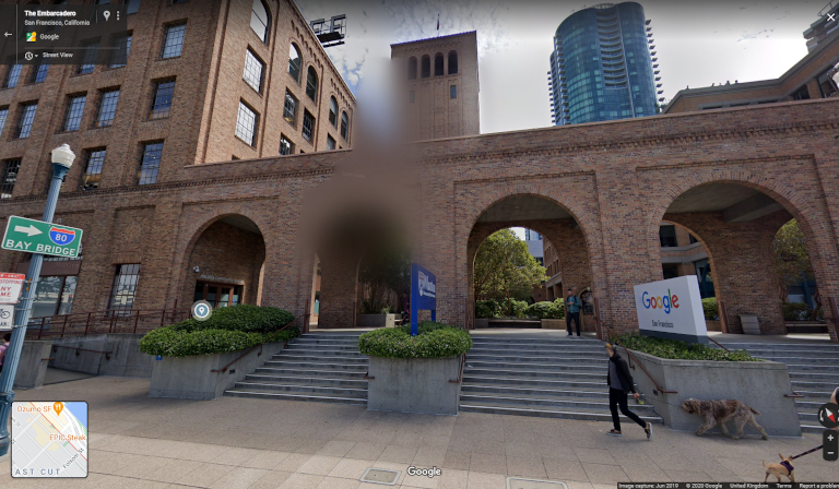
How to Blur People and Objects on Street-Level Mapping Platforms
Guides September 25, 2020
If you see that your face or license plate requires additional blurring after being captured by a camera car, here’s how you can do it.
-
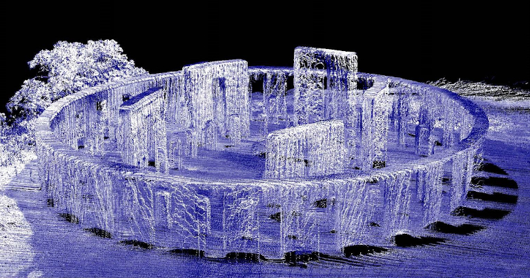
An Introduction to Photogrammetry and LiDaR
Guides September 11, 2020
How Google Maps make their satellite imagery look three-dimensional.
-
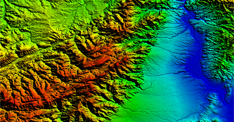
What is a Digital Elevation Model?
Guides August 28, 2020
A Digital Elevation Model (DEM) is a 3D computer graphics representation of elevation data to represent terrain.
-
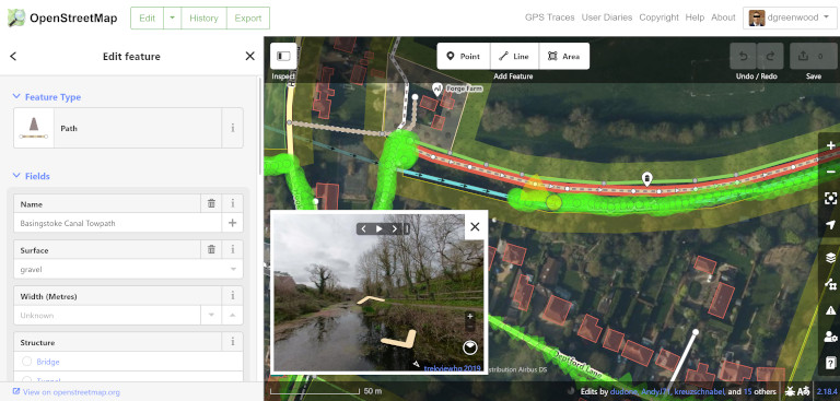
Using Street-Level Imagery to Improve the Map
Guides August 21, 2020
Some useful tools to help you make additions or modifications to OpenStreetMap using Mapillary images.
-
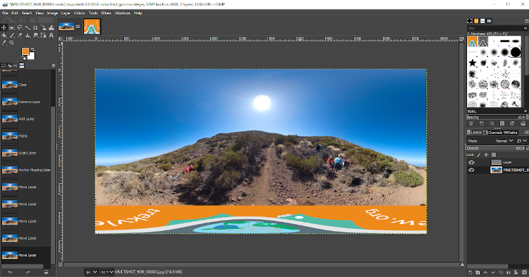
How to Add a Custom Nadir to a 360 Photo using GIMP
Guides June 19, 2020
Branding your public images can be a great way to promote your 360 work. A custom nadir is perfect for this.
-
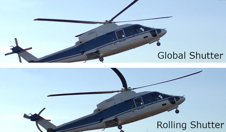
What is a Global Shutter?
Guides June 05, 2020
Why does it matter? And do you need one for 360 tour photography?
-
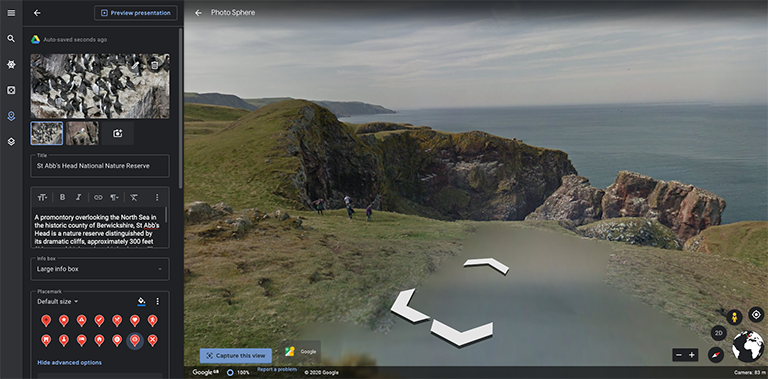
Google Earth Projects - A Quick Start Guide
Guides April 10, 2020
Create customised maps and stories about places anywhere in the world.
-
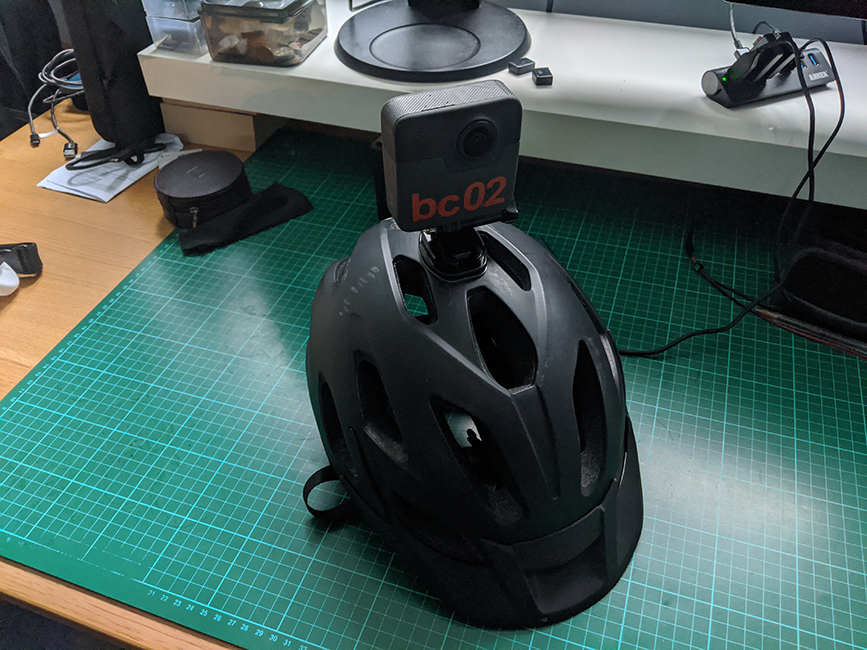
DIY Street View Bike v2
Guides February 28, 2020
The second iteration of my Street View bike, this time designed for downhill trails.
-
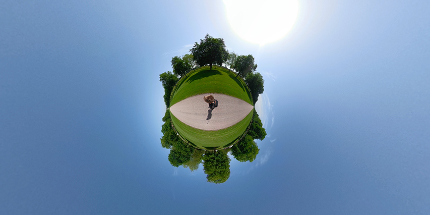
How to Create Your Own Little Planet Photos
Guides February 21, 2020
urn your 360-degree photos into eye-catching miniature planets.
-
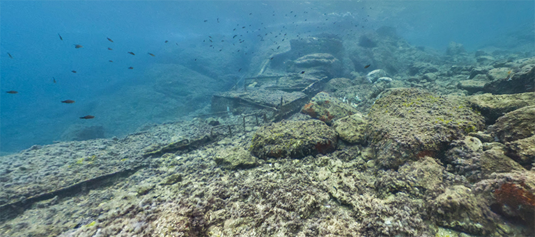
Underwater Street View
Guides January 10, 2020
The challenges we’ve faced and resulting solutions when capturing underwater 360-degree tours.
-
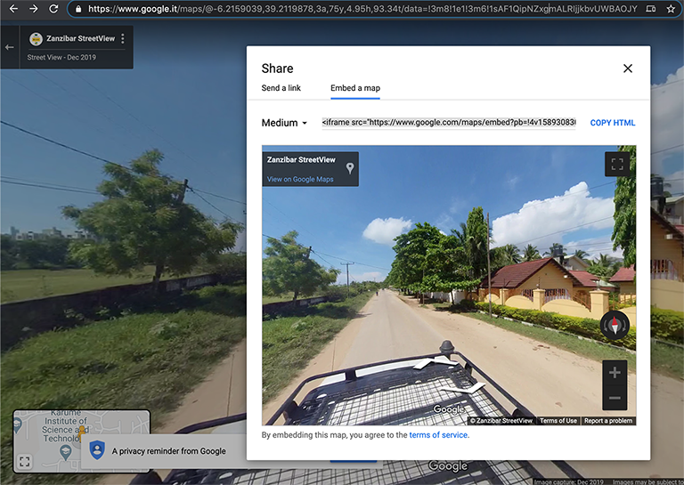
Decoding a Google Street View URL
Guides January 03, 2020
Analysing the structure of Street View URL’s to better understand exposed functionality.
-
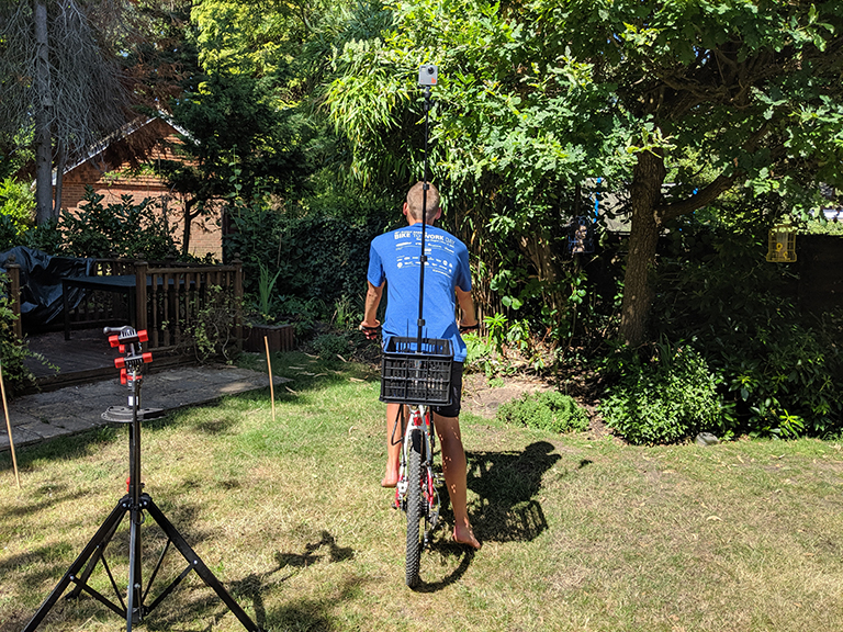
My DIY Street View Bike
Guides November 15, 2019
A proof-of-concept for capturing 360-degree tours of cycling adventures.
-
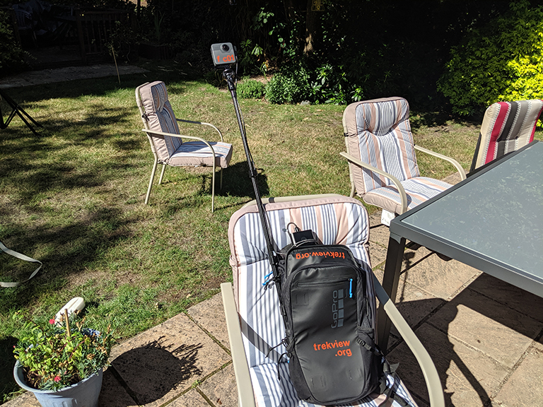
DIY Google Street View (5/5): Increasing the Battery Life of Your GoPro Fusion
Guides August 23, 2019
Power your GoPro Fusion with an external power pack, the equivilant of 10 GoPro Fusion batteries.
-
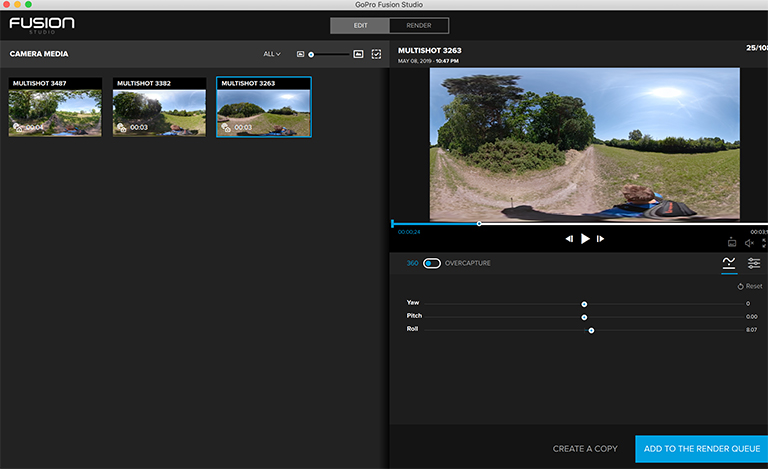
DIY Google Street View (4/5): Stitching 360-Degree Photos Using GoPro Fusion Studio
Guides July 26, 2019
How to create the perfect 360-degree photo for Google Street View, and the things I’ve learned using GoPro Fusion Studio.
-
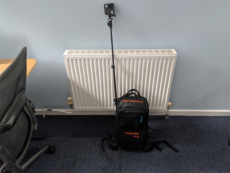
DIY Google Street View (3/5): Preparing to Shoot 360-Degree Tours
Guides July 12, 2019
Simple tips for setting up your Trek Pack to shoot a 360-degree photo tour for Google Street View.
-
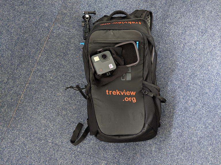
DIY Google Street View (2/5): My Basic Kit for Creating Outdoor Street View Tours
Guides June 28, 2019
The bare minimum you’ll need, and some recommended accessories for building a Trek Pack to shoot 360-degree tours.
-
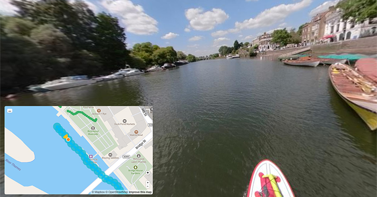
DIY Google Street View (1/5): How I Started Capturing 360-Degree Tours
Guides June 14, 2019
How I built the original Trek View Trek Pack, then used it to shoot, process, and publish 360-degree photo tours to Google Street View.

