In the second part of this post I will show you how to add metadata to images previously extracted from frames.
Blog
The latest from the Trek View team.
Guides | Updates | Treks | Developers | ExPODition
-
Turning a 360 Video into Timelapse Images (Part 2/2)
Developers February 26, 2021
-
Turning a 360 Video into Timelapse Images (Part 1/2)
Developers February 19, 2021
In the first part of this post I will show you how to turn a video into a series of images for more flexible editing options.
-
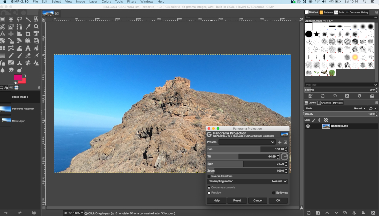
Turn 360 photos to non-360 (flat) photos
Guides February 05, 2021
Use GIMP to transform a 360 photo into a flat photo that looks perfect, and is easy to share.
-
ExPODition Ep.8 - The Road to Sydney
Expodition January 29, 2021
Zac Newham embarks on a 25,000 mile ride from his home in Ifield, England to Sydney, Australia.
-
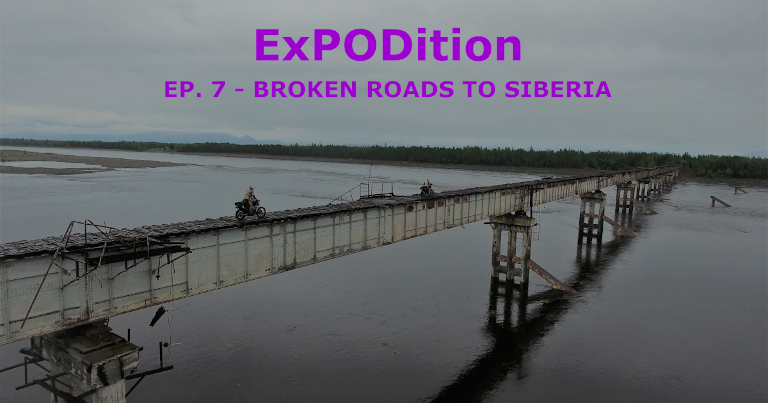
ExPODition Ep.7 - Broken Roads to Siberia
Expodition January 15, 2021
A 10,000 km, one month long journey through the Russian wilderness.
-
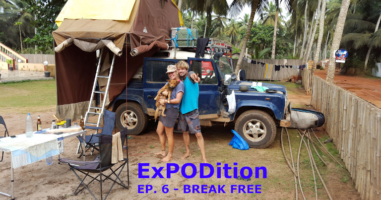
ExPODition Ep.6 - Break Free
Expodition January 01, 2021
Two totally different characters, jammed together in two square metres of space for almost two years as they travel across Africa.
-

ExPODition Ep.5 - When the Road Ends
Expodition December 18, 2020
The story of one mans journey from Central to South America on the Pacific on a raft, powered by a motorcycle.
-

ExPODition Ep.4 - Dugout
Expodition December 04, 2020
A journey through the Ecuadorian rainforest in a self-made dugout canoe.
-
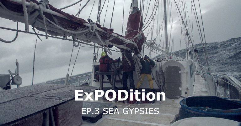
ExPODition EP.3 - Sea Gypsies
Expodition November 20, 2020
A crew of 16 left New Zealand on an 8,000 mile pacific crossing to Patagonia, with a stop in Antarctica.
-
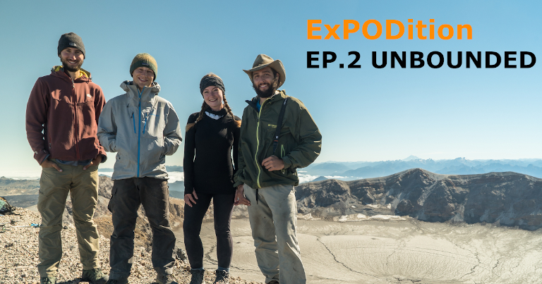
ExPODition EP.2 - Unbounded
Expodition November 06, 2020
A young, unaided crew of four as they hike and pack-raft for four months into the infinite region known as Patagonia.
