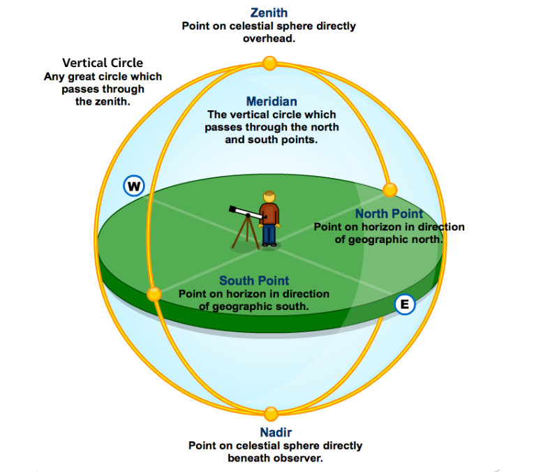
In short, directly below, and directly above, respectively.
The Oxford English Dictionary defines a nadir as:
The point on the celestial sphere directly below an observer.
(The opposite of zenith)

The nadir is the direction pointing directly below a particular location whereas the zenith points directly below.
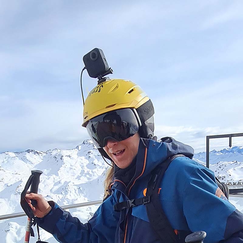
360 images will often capture mounts the camera is attached to in the nadir or zenith areas; tripods, helmets, drones, etc.
In some cases, the 360-degree camera have blind-spots in the nadir and zenith area that are filled in during stitching.
Similarly, more advanced software, notably Google Street View, can seemingly remove entire cars from the nadir by blurring the area using the surrounding terrain.
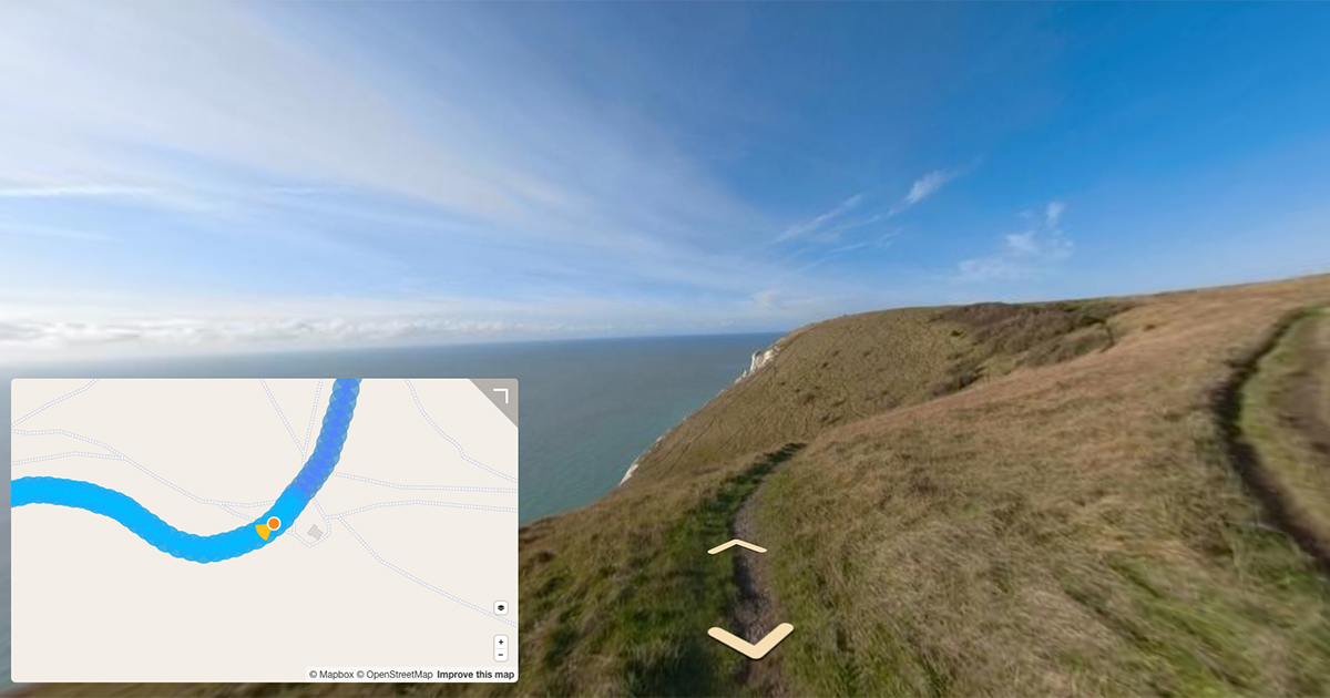
The GoPro Fusion’s and MAX’s we use with our trekker pack do have a partial blind spot in the nadir and zenith area – evident in the “join lines” between the stitched photograph (look down in the image above)… but we still have enough space to point viewers and passers-by to trekview.org using the Trek Pack branding!
Perhaps that’s how you found us?
We're building a Street View alternative for explorers
If you'd like to be the first to receive monthly updates about the project, subscribe to our newsletter...


