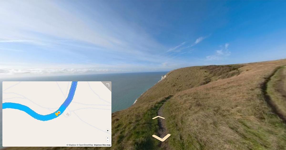
Some useful tools to help you make additions or modifications to OpenStreetMap using Mapillary images.
Many of you might be familiar with the OpenStreetMap iD Editor, the Java OpenStreetMap (JSOM) editor, or perhaps an entirely different editor altogether.
Many thousands of contributors use them to add and update the community submitted map data that powers OpenStreetMap (OSM).
Why is street-level imagery important
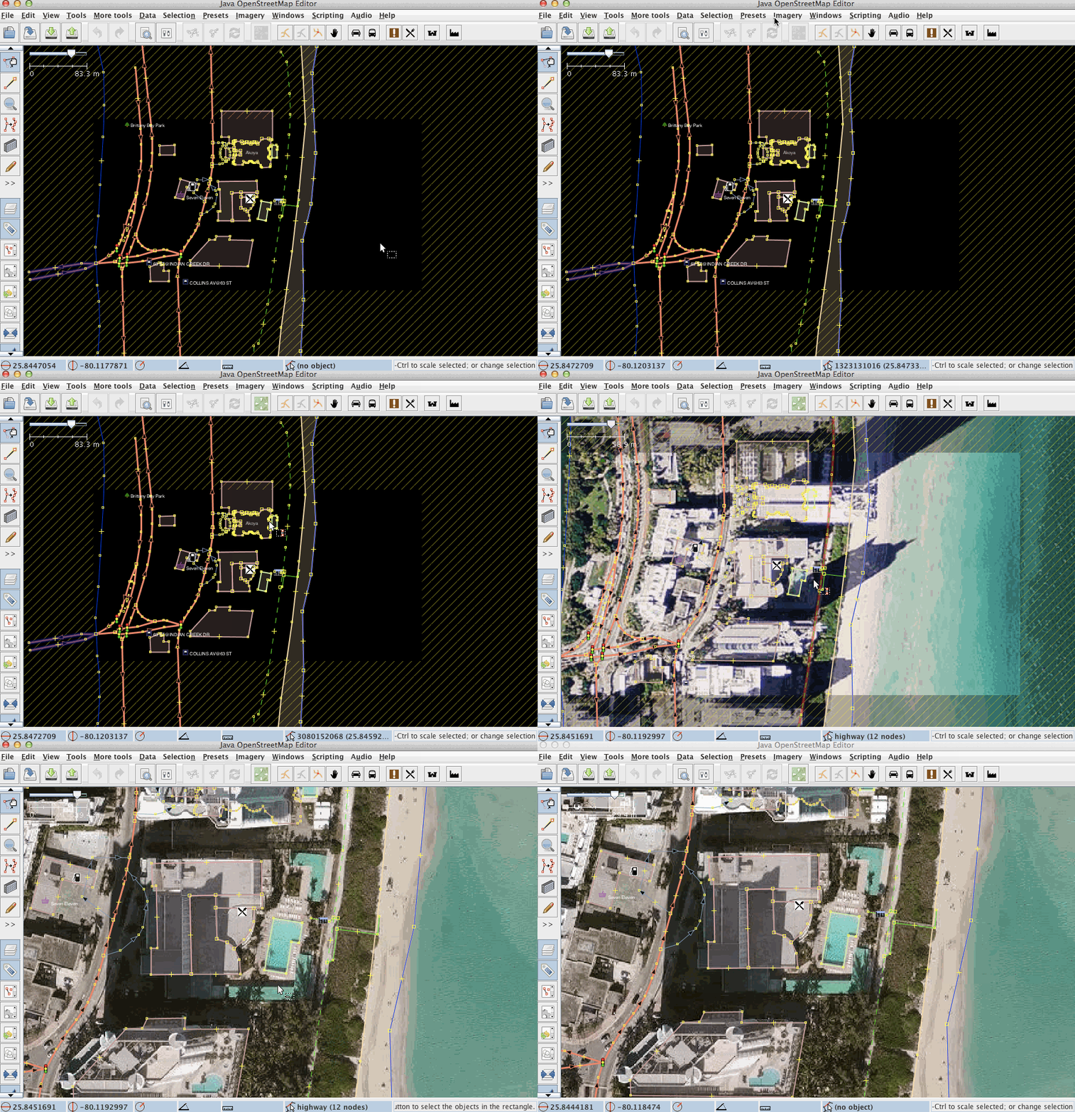
Looking at the Mapbox satellite imagery above, you can see how it proves useful in helping users to mark buildings and other large objects as seen from above, on the map.
Street level imagery offers a different perspective to visual editing.
The resolution of satellite imagery can often make it hard to identify the detail at ground level (e.g path surface type), what the facade of objects look like (e.g signs on front of shops), or is useless where there is a canopy (e.g. under tree or building cover).
In these situations street-level imagery is incredibly valuable to mappers.
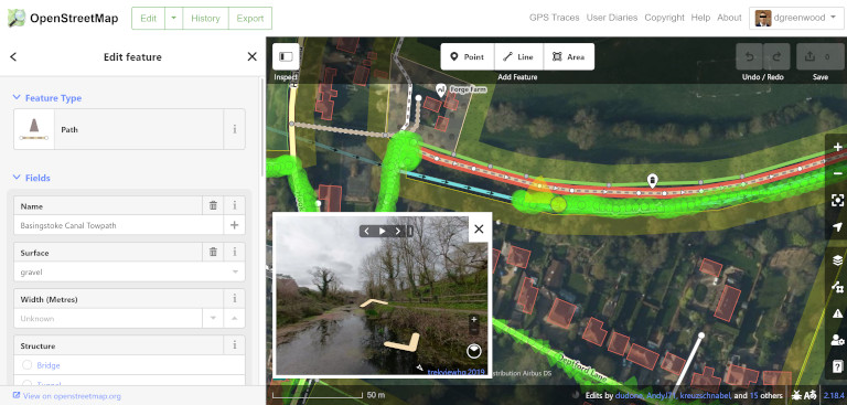
Using our 360 images I can mark the surface type, the width of the path, the access rights, and many other settings giving those using OSM data better information to navigate or plan their journeys.
For example, surface type, incline and obstructions can be vital to those with impairments.
How to add this information to OSM
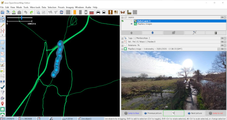
For JOSM, a desktop application, there are lots available. The Mapillary plugin that allows JSOM user to work with Mapillary images to provide additional context when editing the map.
Good news. The browser based editor, OpenStreetMap iD Editor, also allows you to use Mapillary images to improve the map.
If you’re new to editing OSM, go with the iD Editor to start with as it is the clearest.
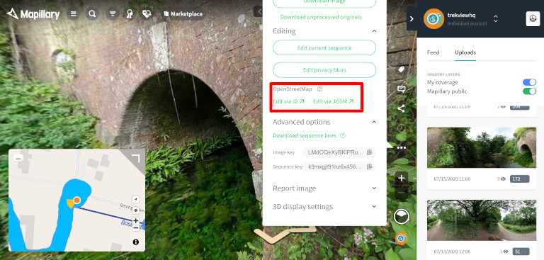
To get started, open up Mapillary, find the part of the map you want to edit (maybe some of our images), and click “…” > Editing > then selecting iD Editor.
It will open up a new window where you can start to add context to the map.
For example, click a path and look at how it has already been classified. Is the surface type noted? Are there any additional tags that might be useful?
After a few minutes of editing, you’ll get the hang of it and will be an expert map maker in no time.
We're building a Street View alternative for explorers
If you'd like to be the first to receive monthly updates about the project, subscribe to our newsletter...
