Using calculated heading values to ensure videos are shown in 360 players facing the same direction as they were shot.
Blog
The latest from the Trek View team.
Guides | Updates | Treks | Developers | ExPODition
-
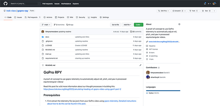
Using ffmpeg to dynamically adjust the yaw of GoPro 360 videos (Part 3)
Developers June 10, 2022
-
Using ffmpeg to dynamically adjust the yaw of GoPro 360 videos (Part 2)
Developers June 03, 2022
Converting GoPro telemetry into magnetic heading values to ensure videos are shown in 360 players facing the same direction as they were shot.
-
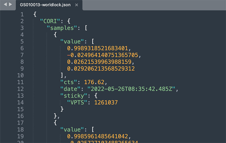
Using ffmpeg to dynamically adjust the yaw of GoPro 360 videos (Part 1)
Developers May 27, 2022
Understand the telemetry needed to ensure your 360 videos are loaded in 360 players facing the same direction as they were shot.
-
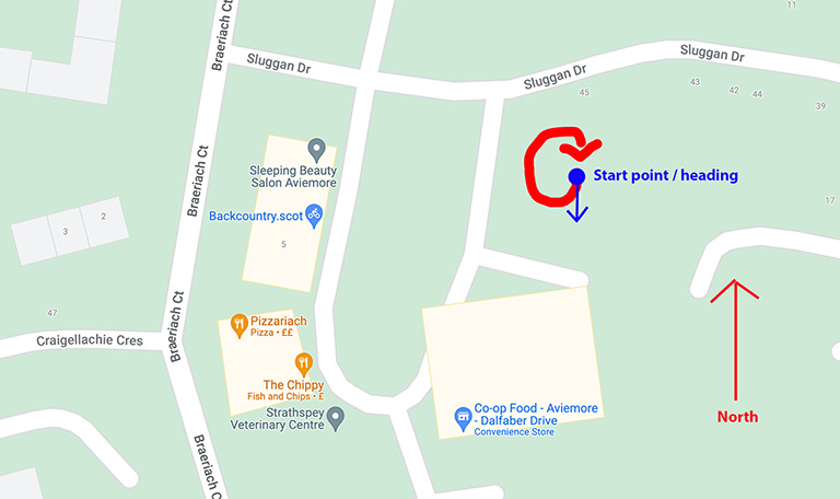
Adjusting the yaw of an equirectangular 360 photo using ImageMagick
Developers May 20, 2022
Ensure your 360 photos are loaded in 360 viewers facing the same direction as they were shot.
-

Creating a Video File Ready to be Uploaded to the Google Street View API
Developers May 13, 2022
Using ffmpeg to create a video file with accompanying GPS telemetry.
-
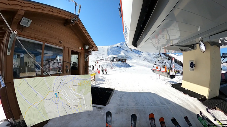
Overlaying GoPro Telemetry as a map onto Videos (includes 360 videos too!)
Treks May 06, 2022
Put a map inside your GoPro video showing exactly where is was shot.
-
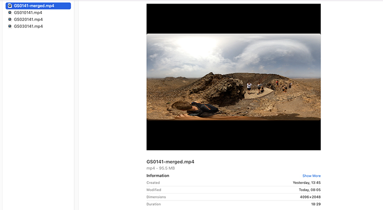
Merging Chaptered GoPro Videos Whilst Preserving Telemetry
Developers April 29, 2022
Use ffmpeg to create full length GoPro footage which retains full GPS information.
-
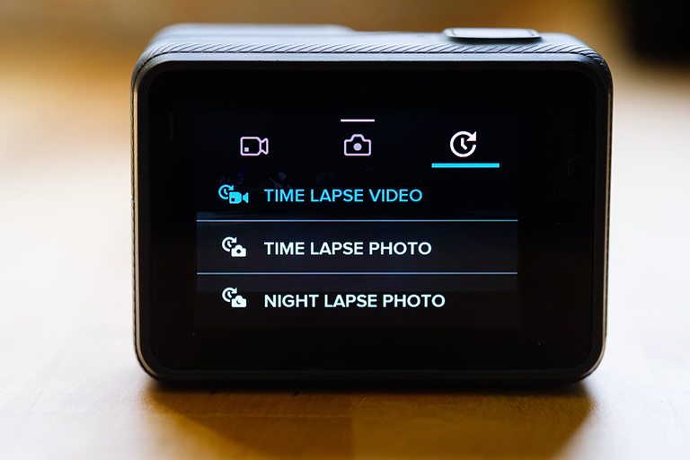
Turning a GoPro TimeLapse Video into Photo Frames
Developers April 22, 2022
TimeLapse video mode is perfect for creating beautiful TimeLapses, but poses some unique challenges when trying to split them into individual frames.
-
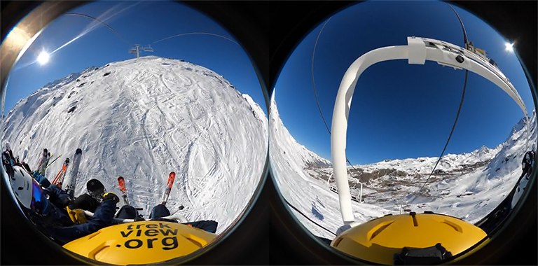
Using ffmpeg to Process Raw GoPro Fusion Dual Fisheyes to Equirectangular Projections
Developers April 15, 2022
In our continued effort to avoid reliance on GoPro software, I look at how ffmpeg can be used to process the GoPro Fusion’s Dual Fisheyes videos to a single equirectangular video.
-
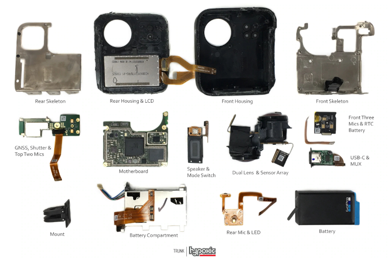
The Evolution of GoPro Camera Sensors
Developers April 08, 2022
And the data they produce in the GPMF stream.
Videos shot on GoPro HERO5 (and newer), Fusion, and MAX cameras all contain a GPMF telemetry track in their metadata.

