An ELI5 description of how software takes 2 or more photos to create a 360 image.
Blog
The latest from the Trek View team.
Guides | Updates | Treks | Developers | ExPODition
-
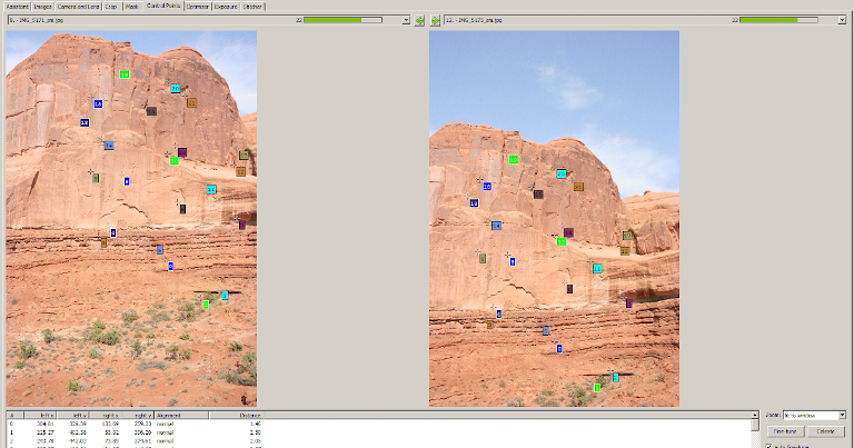
How Does 360 Stitching Software Work?
Developers July 03, 2020
-
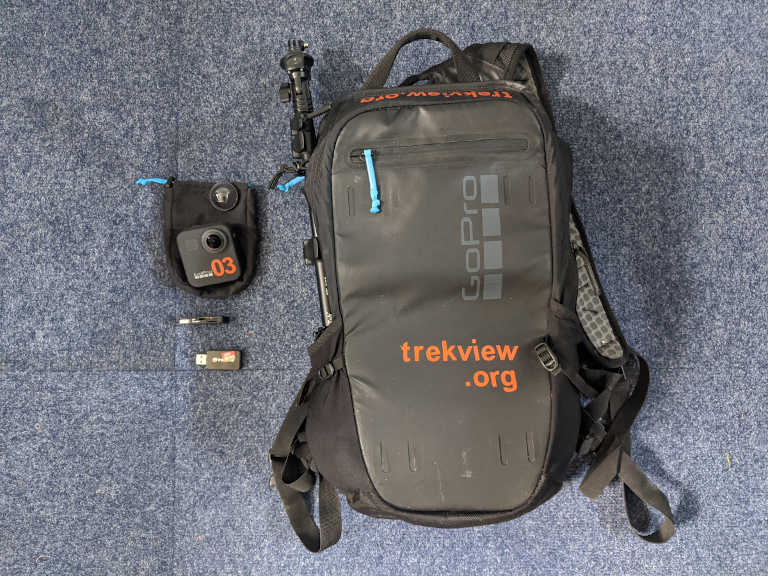
Announcing the Trek Pack v2
Updates June 26, 2020
Over the Winter we’ve been experimenting with new cameras for an updated version of our Trek Pack.
-
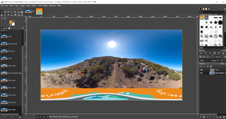
How to Add a Custom Nadir to a 360 Photo using GIMP
Guides June 19, 2020
Branding your public images can be a great way to promote your 360 work. A custom nadir is perfect for this.
-
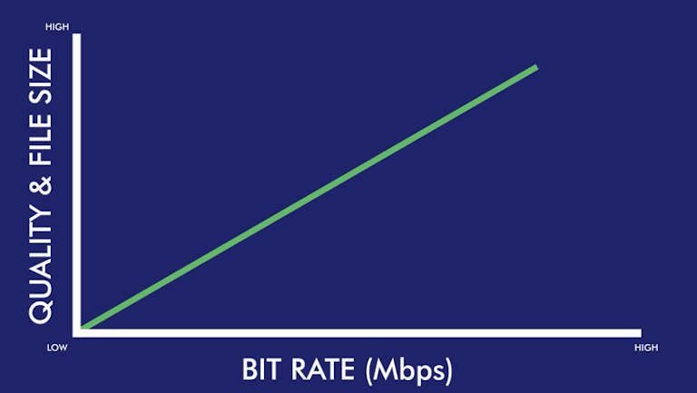
FPS, Bit rate, Compression and 360 Video Quality
Developers June 12, 2020
The image quality of video frames can vary significantly between two cameras offering the same resolution, but why?
-
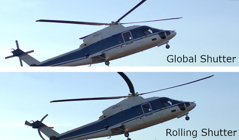
What is a Global Shutter?
Guides June 05, 2020
Why does it matter? And do you need one for 360 tour photography?
-
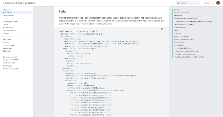
Turning a 360 Timelapse or Video into a GPX or KML track using exiftool
Developers May 22, 2020
Here’s how to use the GPS points inside your 360 timelapses or videos with tools like Strava and Google Earth.
-
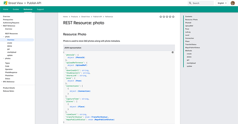
Google Street View Publish API - Quick Start Guide
Developers May 15, 2020
All third-party Street View tools are built around the Google Street View Publish API. Here’s a closer look at how it works for uploading short sequences.
-
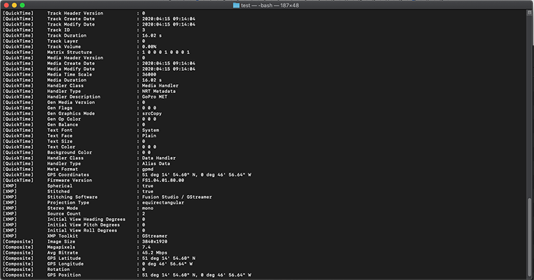
An Introduction to the GoPro Metadata Format (GPMF) standard (video telemetry)
Developers May 08, 2020
With the help of a 360 video shot using a GoPro Fusion, I take a look at GoPro’s GPMF video telemetry standard.
-
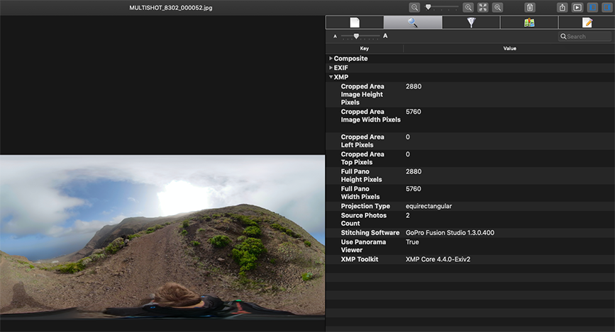
A deeper look into a 360 photo and the metadata it holds
Developers May 01, 2020
Every photo you take is filled with metadata. Here’s why it’s important for outdoor 360 street-level photography.
-

tl;dr Google Street View Image Licensing
Updates April 24, 2020
A deeper look into Google’s Terms of Service, and what it means for imagery you’ve contributed to Google Street View.
