Create customised maps and stories about places anywhere in the world.
Blog
The latest from the Trek View team.
Guides | Updates | Treks | Developers | ExPODition
-
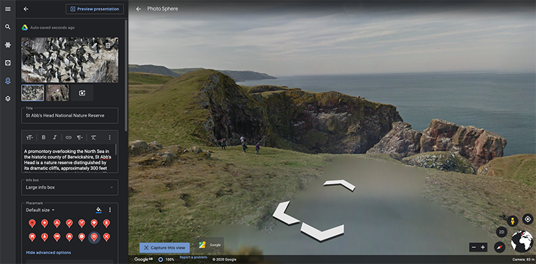
Google Earth Projects - A Quick Start Guide
Guides April 10, 2020
-
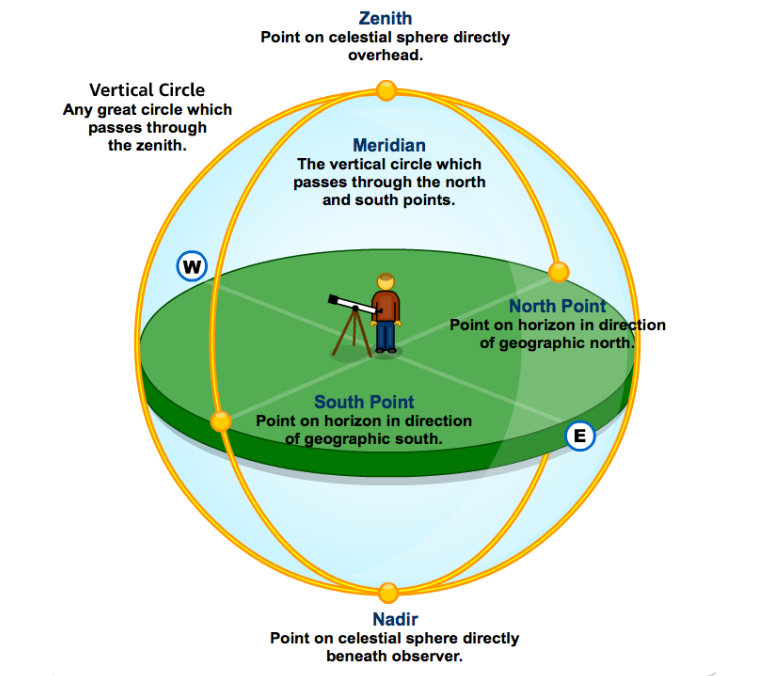
What is a Nadir? What is a Zenith?
Developers March 13, 2020
In short, directly below, and directly above, respectively.
-
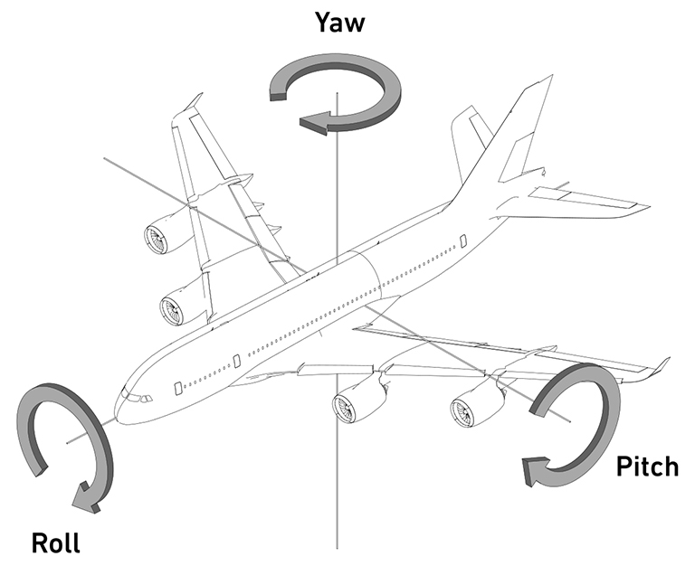
Yaw, Pitch, Roll
Developers March 06, 2020
Three spatial concepts that are important to understand in 360 photography.
-
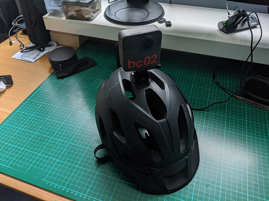
DIY Street View Bike v2
Guides February 28, 2020
The second iteration of my Street View bike, this time designed for downhill trails.
-
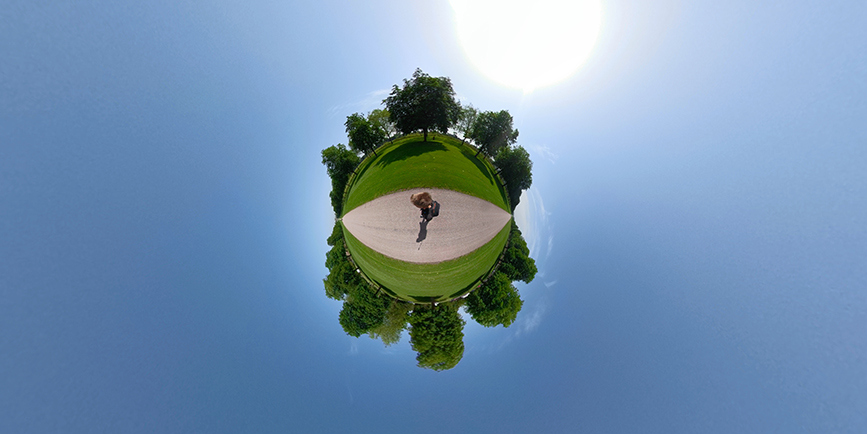
How to Create Your Own Little Planet Photos
Guides February 21, 2020
urn your 360-degree photos into eye-catching miniature planets.
-
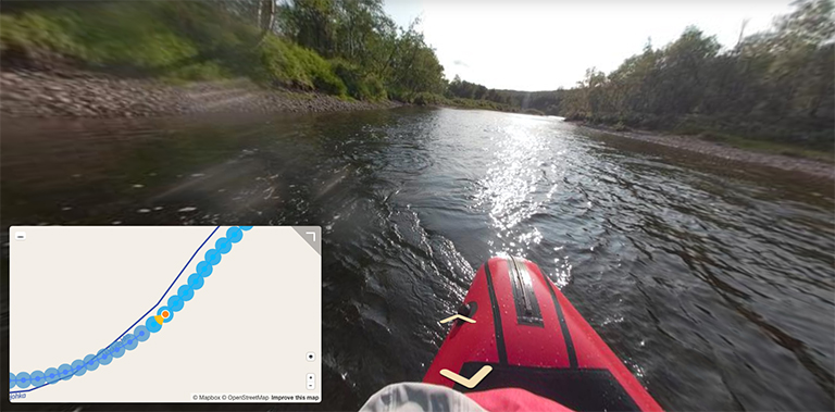
Projects We Love on Mapillary
Treks February 14, 2020
We recently discovered Mapillary (yes, we’re late) and wanted to share some the great things we’ve discovered on the platform.
-
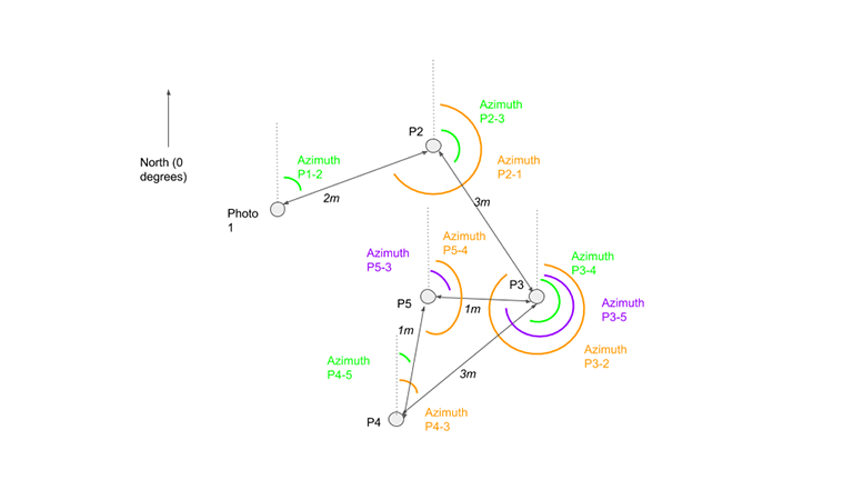
What Direction are you Facing?
Developers January 17, 2020
North, South, East or, West? Calculating bearings between photos.
-
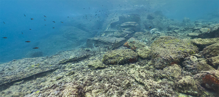
Underwater Street View
Guides January 10, 2020
The challenges we’ve faced and resulting solutions when capturing underwater 360-degree tours.
-
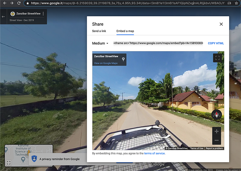
Decoding a Google Street View URL
Guides January 03, 2020
Analysing the structure of Street View URL’s to better understand exposed functionality.
-
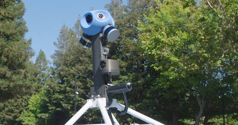
Google's Street View Cameras - More Than Meets the Eye
Updates December 20, 2019
Lasers, gyroscopes, accelerometers… Street View camera rigs do much more than just take photos.
