And how to make sure you’re not missing out on Google Local Guide points from Street View photos.
Blog
The latest from the Trek View team.
Guides | Updates | Treks | Developers | ExPODition
-
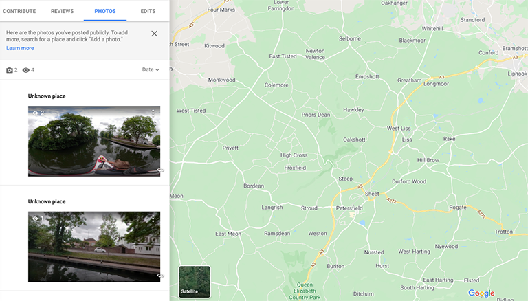
What is a Place ID?
Developers December 06, 2019
-
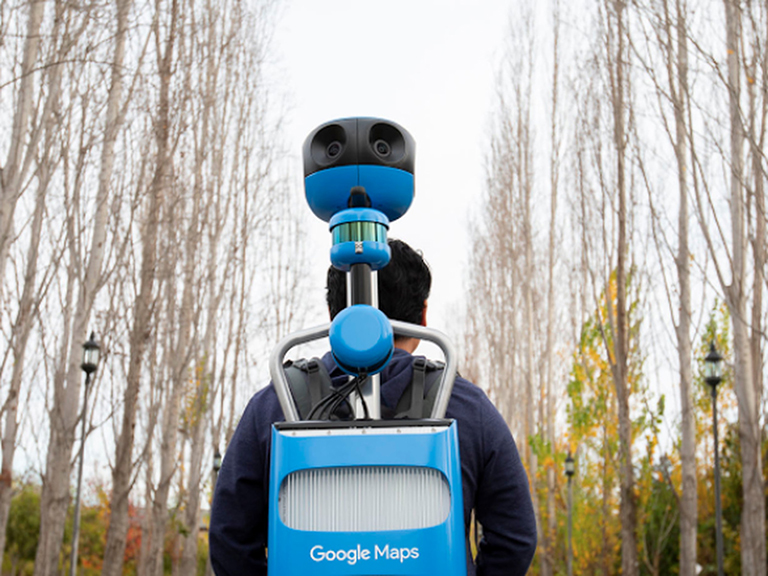
A Brief History of Google's Street View Cameras
Updates November 22, 2019
Street View has come a long way in 13 years during which time 360 camera technology has seen significant advancements too.
-
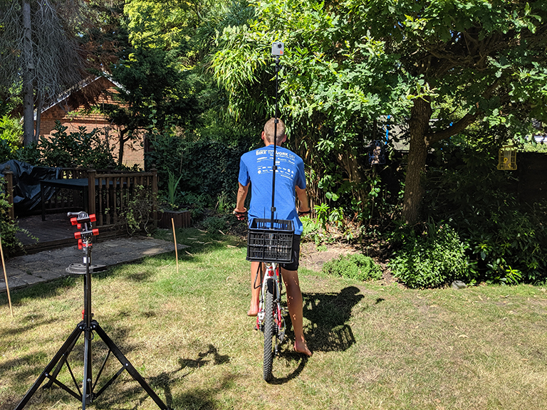
My DIY Street View Bike
Guides November 15, 2019
A proof-of-concept for capturing 360-degree tours of cycling adventures.
-
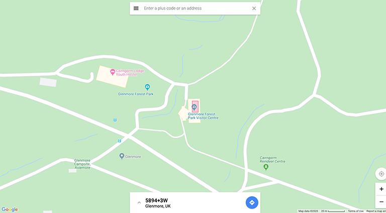
Trails Don't have Addresses
Developers November 08, 2019
Using location codes to map even the most remote hiking trails.
-
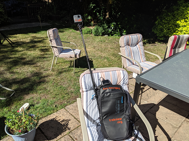
DIY Google Street View (5/5): Increasing the Battery Life of Your GoPro Fusion
Guides August 23, 2019
Power your GoPro Fusion with an external power pack, the equivilant of 10 GoPro Fusion batteries.
-
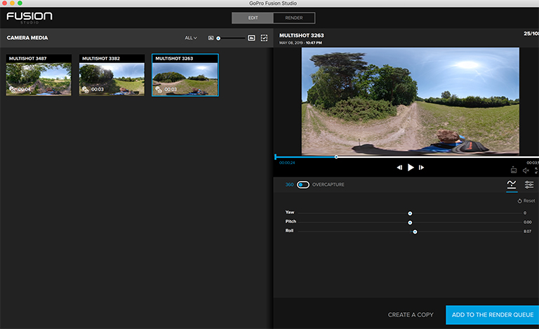
DIY Google Street View (4/5): Stitching 360-Degree Photos Using GoPro Fusion Studio
Guides July 26, 2019
How to create the perfect 360-degree photo for Google Street View, and the things I’ve learned using GoPro Fusion Studio.
-
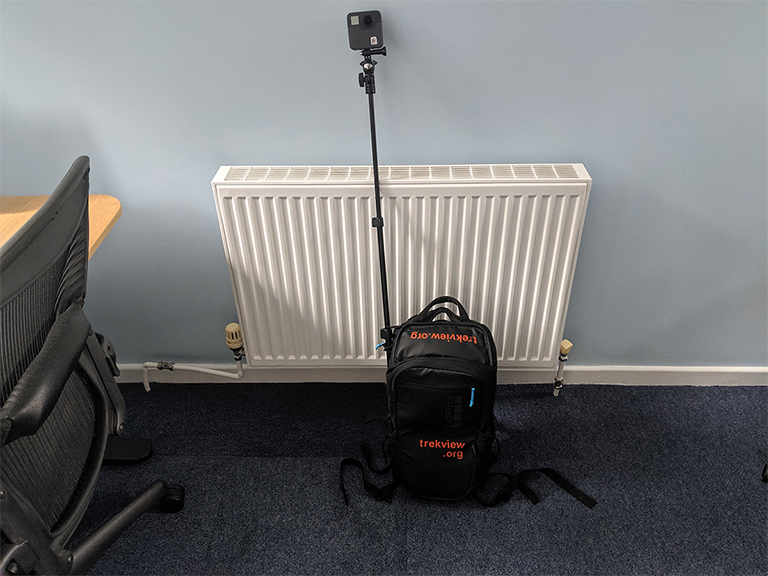
DIY Google Street View (3/5): Preparing to Shoot 360-Degree Tours
Guides July 12, 2019
Simple tips for setting up your Trek Pack to shoot a 360-degree photo tour for Google Street View.
-
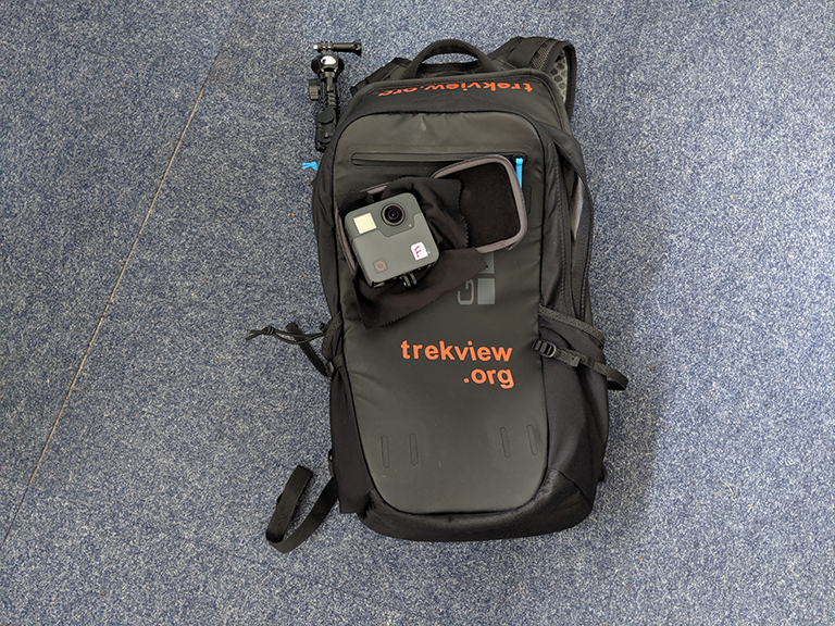
DIY Google Street View (2/5): My Basic Kit for Creating Outdoor Street View Tours
Guides June 28, 2019
The bare minimum you’ll need, and some recommended accessories for building a Trek Pack to shoot 360-degree tours.
-
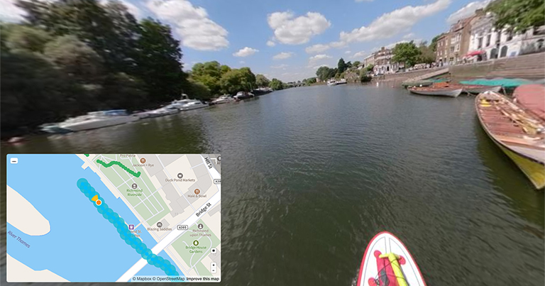
DIY Google Street View (1/5): How I Started Capturing 360-Degree Tours
Guides June 14, 2019
How I built the original Trek View Trek Pack, then used it to shoot, process, and publish 360-degree photo tours to Google Street View.
-
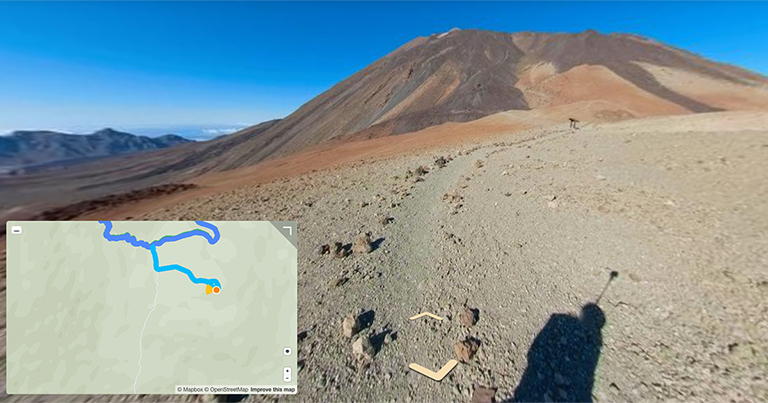
Hello, Trekkers!
Updates May 17, 2019
I believe sharing interactive 360-degree imagery of our world can inspire others to explore and protect it.
