A young, unaided crew of four as they hike and pack-raft for four months into the infinite region known as Patagonia.
Blog
The latest from the Trek View team.
Guides | Updates | Treks | Developers | ExPODition
-
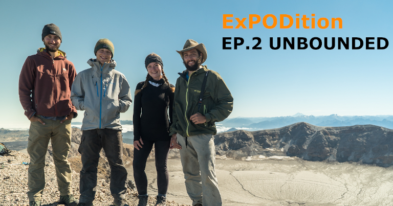
ExPODition EP.2 - Unbounded
Expodition November 06, 2020
-
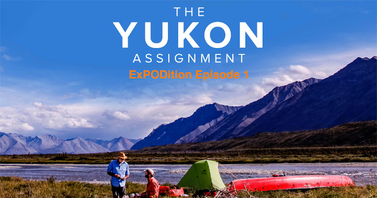
Announcing the ExPODition Podcast
Expodition October 23, 2020
Climb. Ski. Hike. Bike. Paddle. Run. Travel. Stories from ‘everyday people’ who have embarked on amazing adventures.
-
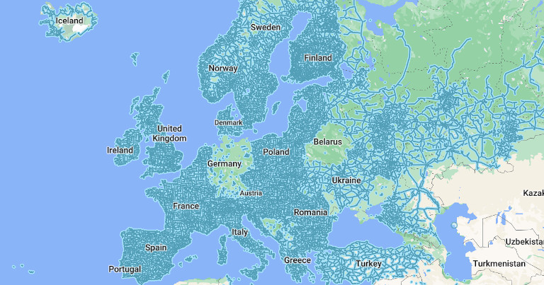
Street View vs. StreetSide vs. Look Around vs. Mapillary
Guides October 02, 2020
How do the major street-level mapping products compare?
-
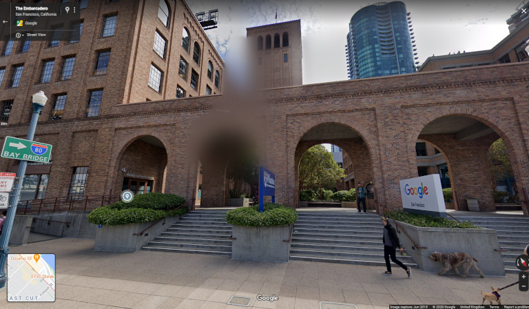
How to Blur People and Objects on Street-Level Mapping Platforms
Guides September 25, 2020
If you see that your face or license plate requires additional blurring after being captured by a camera car, here’s how you can do it.
-
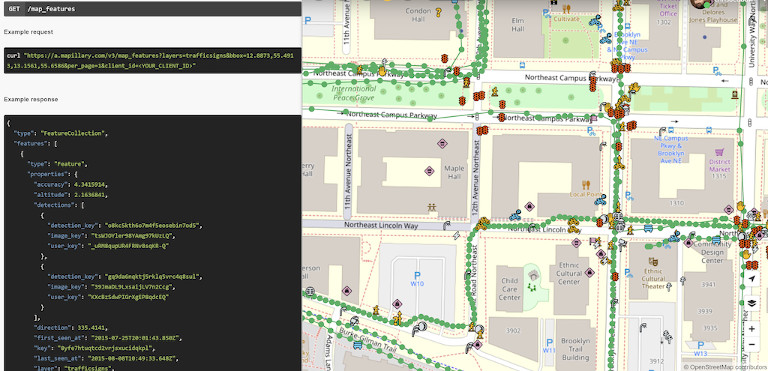
Playing with the Mapillary API
Developers September 18, 2020
A quick look at some of the API queries we’ve used against the Mapillary API.
-
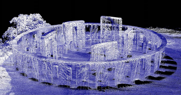
An Introduction to Photogrammetry and LiDaR
Guides September 11, 2020
How Google Maps make their satellite imagery look three-dimensional.
-
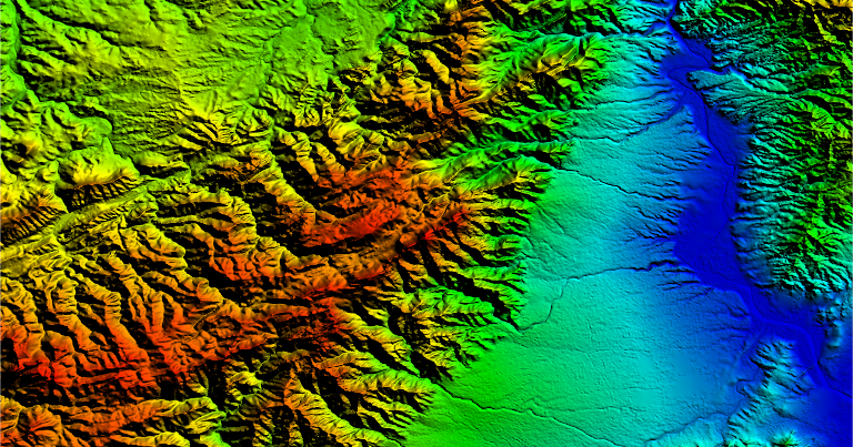
What is a Digital Elevation Model?
Guides August 28, 2020
A Digital Elevation Model (DEM) is a 3D computer graphics representation of elevation data to represent terrain.
-
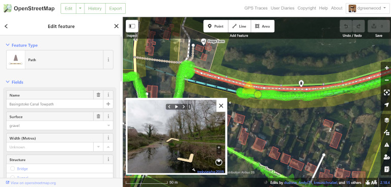
Using Street-Level Imagery to Improve the Map
Guides August 21, 2020
Some useful tools to help you make additions or modifications to OpenStreetMap using Mapillary images.
-
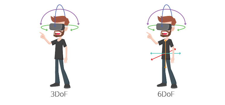
What is an IMU?
Developers July 17, 2020
360 Cameras are full of sensors (and not just image sensors).
-

How does GPS work?
Developers July 10, 2020
Learn how GPS works and why some receivers are more accurate than others.
