Occasionally I get patches of erroneous GPS in my timelapse photos reported by the camera. Here’s a script to identify and remove these points before upload.
Developers
Behind the scenes in the Trek View lab
Blog > Developers
-
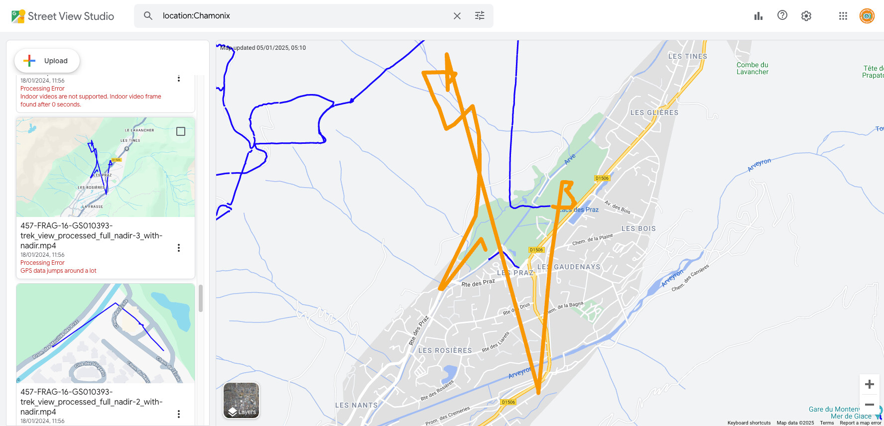
Automatically detecting and removing panos with corrupt GPS from a timelapse sequence
Developers September 15, 2023
-
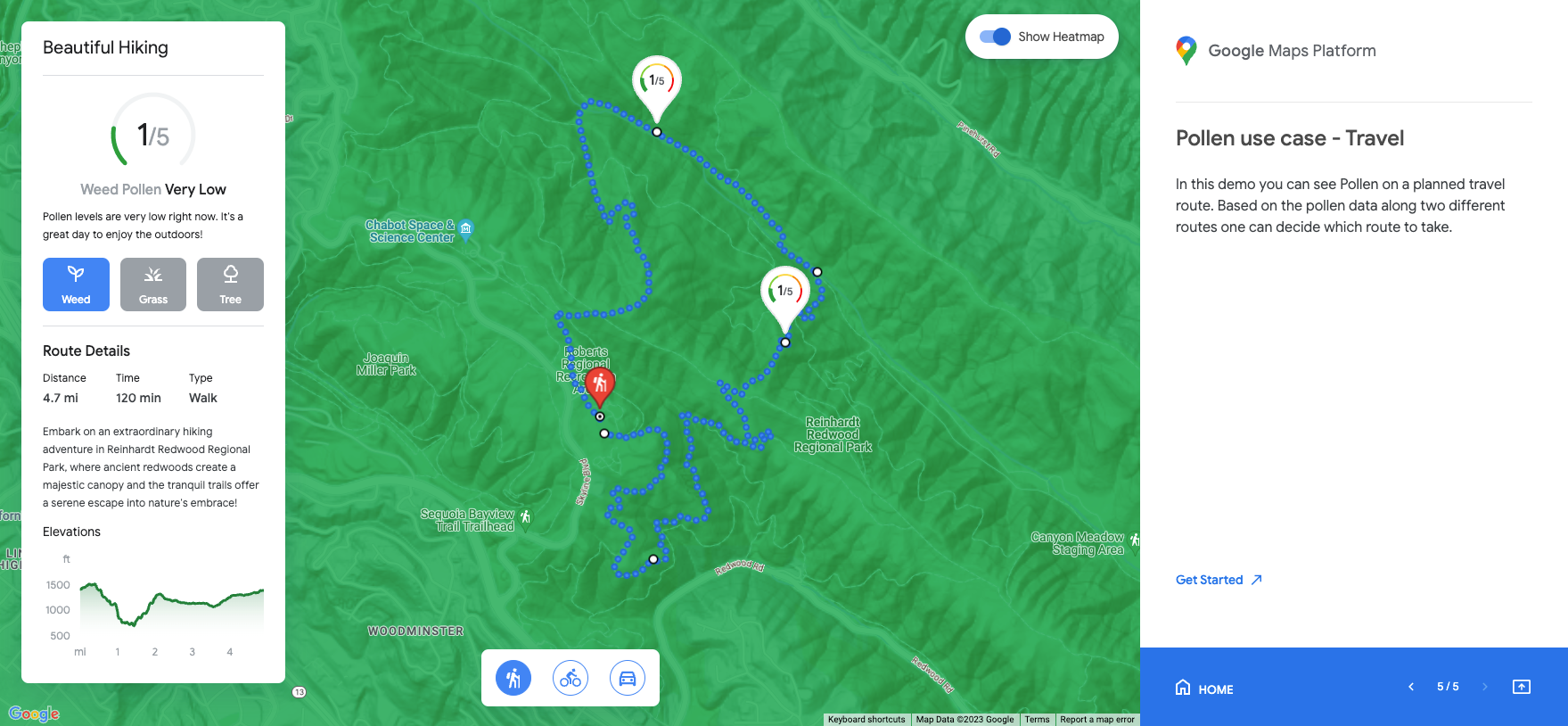
A Deep Dive into Google's New Environmental API's
Developers September 08, 2023
Google recently launched three new API’s delivering Solar, Air Quality and Pollen data, all of which sound very intriguing to me…
-
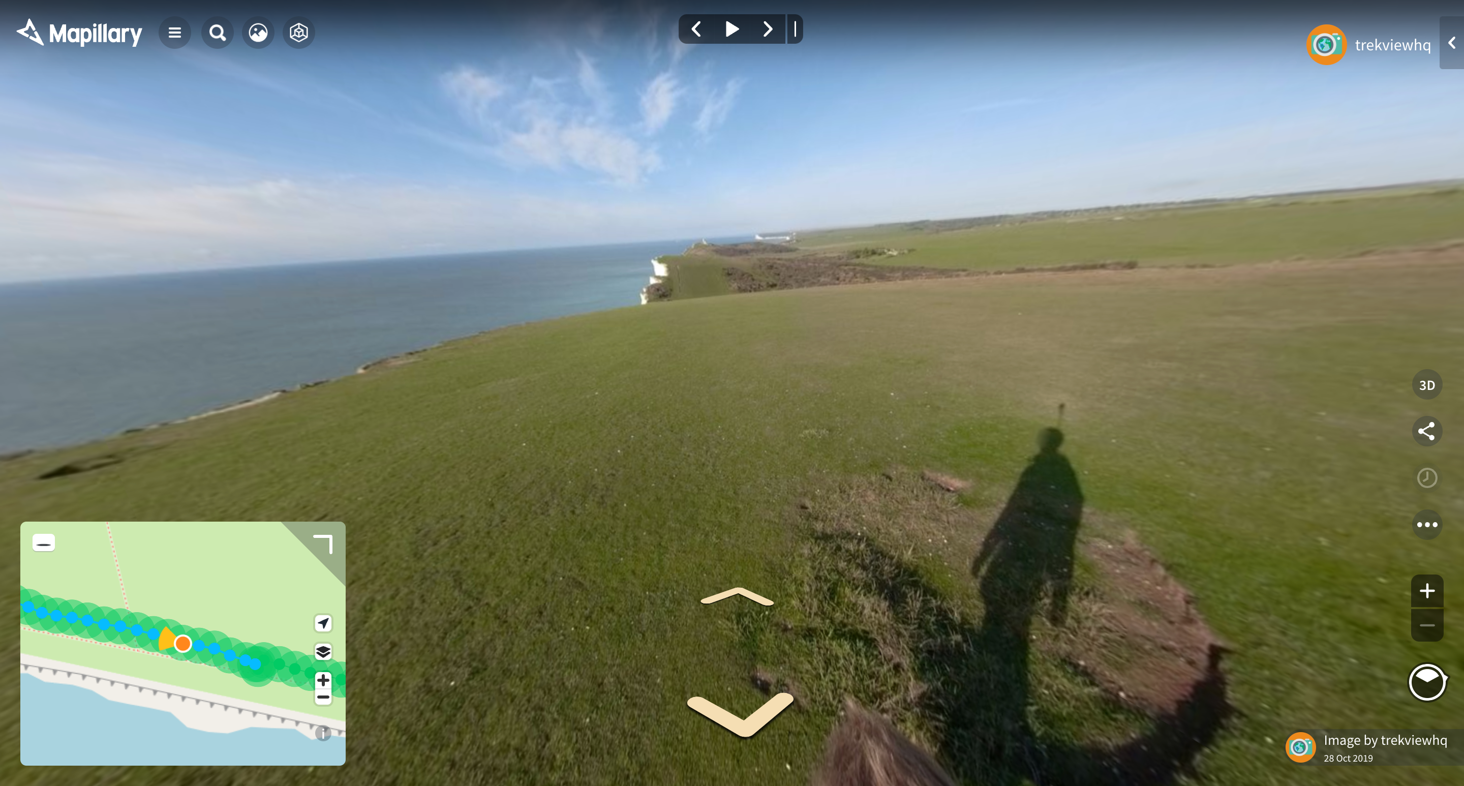
Building a Street View Alternative for Exploration... with no money (part 2)
Developers March 02, 2023
In this post I will walk you through my early design decisions and the workflow of the proposed app.
-
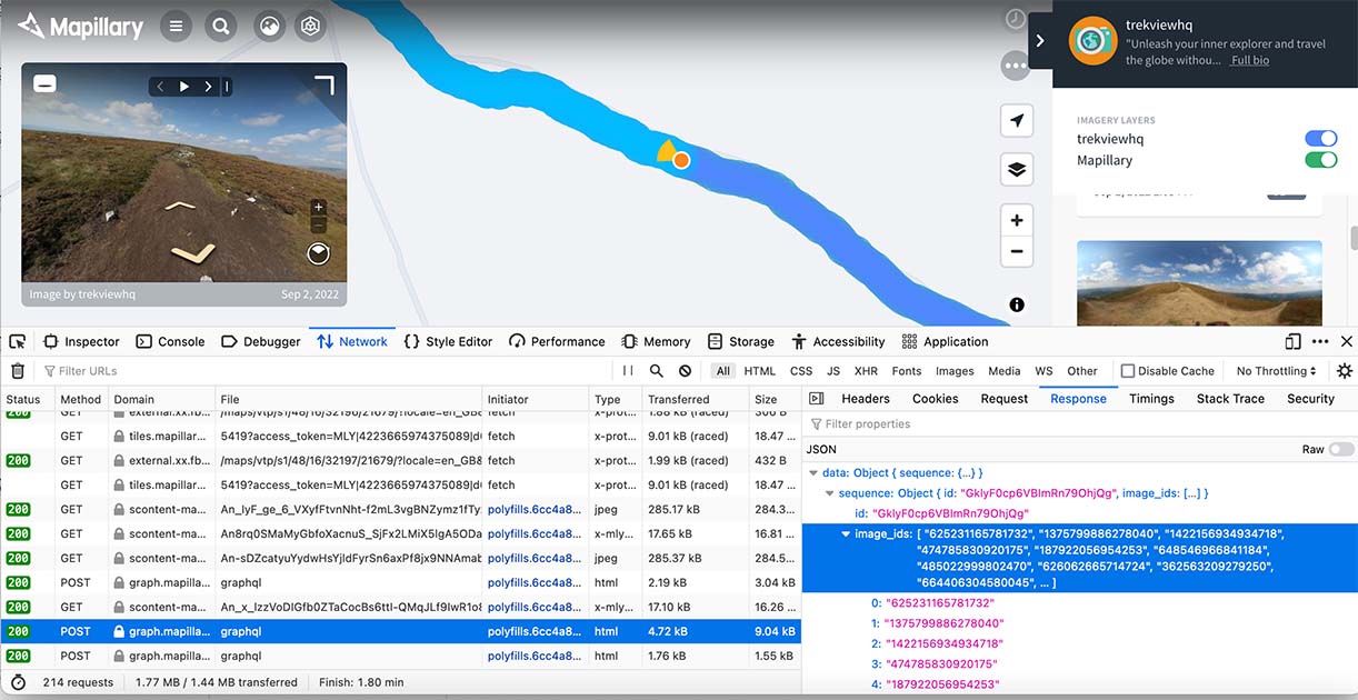
Building a Street View Alternative for Exploration... with no money (part 1)
Developers February 17, 2023
In this post I will walk you through my thinking about how such an app could be built, and my early experiments.
-
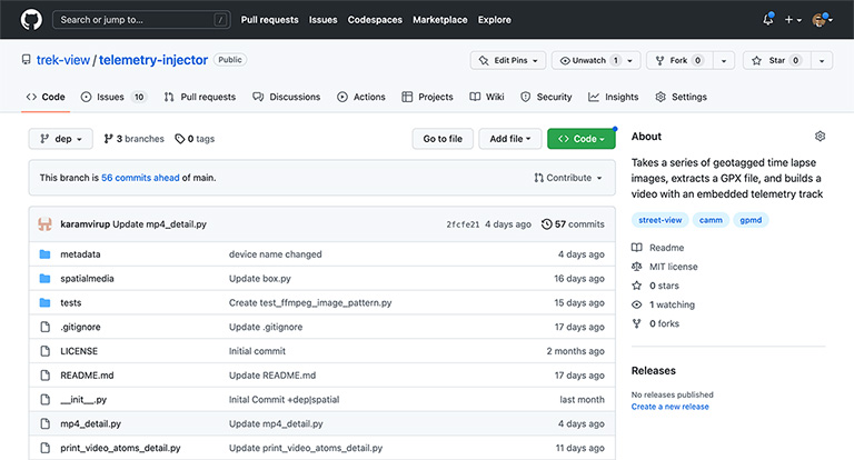
Injecting Telemetry into Video Files (Part 6): Telemetry Injector
Developers November 25, 2022
In this post I will show you a proof of concept that can be used to turn a series of geo-tagged images into a video with a CAMM or GPMD telemetry track.
-
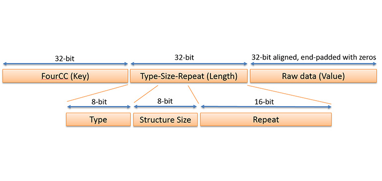
Injecting Telemetry into Video Files (Part 5): GPMF
Developers November 04, 2022
In this post I will the structure of GoPro’s GPMF standard, how to create a GPMF binary and accompanying metadata, and finally how to inject it into a mp4 video file.
-
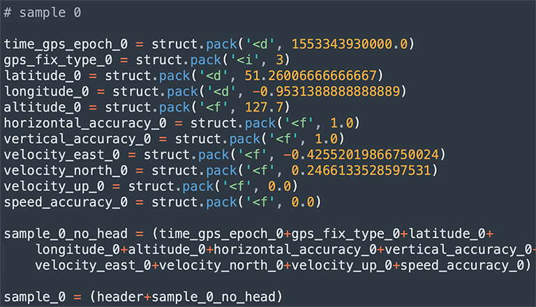
Injecting Telemetry into Video Files (Part 4): CAMM
Developers October 21, 2022
In this post I will take what we learned in the last post and use it to write some telemetry into a video.
-
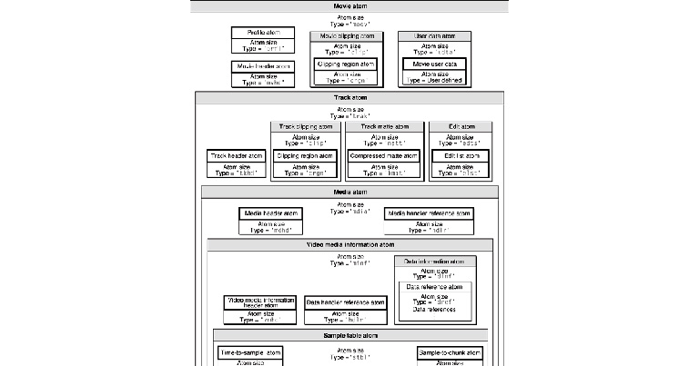
Injecting Telemetry into Video Files (Part 3): Structuring telemetry trak's in mp4 videos
Developers October 07, 2022
In this post I will focus on the structure of trak boxes in mp4 with of a focus on using them to describe video telemetry.
-
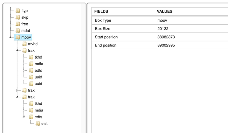
Injecting Telemetry into Video Files (Part 2): A high-level introduction to the mp4 specification
Developers September 23, 2022
In this post I will introduce the structure of an mp4 file and describe how players use this structure to decode the its contents.
-
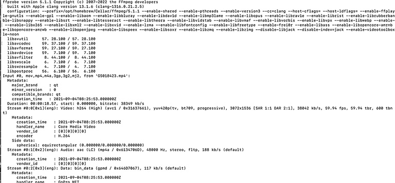
Injecting Telemetry into Video Files (Part 1): An Introduction
Developers September 09, 2022
In this post I will explain why we, finally, have decided to figure out how to write geo-telemetry into video files created using ffmpeg.
-
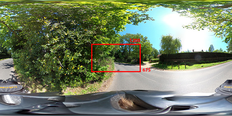
Programmatically creating a thumbnail image from a equirectangular image
Developers August 26, 2022
In this post I will show you two approaches you can use to create thumbnails from any part of an equirectangular image.
-
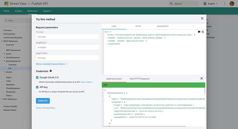
Lessons Learned Using the Google Street View Publish API
Developers August 19, 2022
Uploading videos is relatively straight forward, but here are some of the things we’ve learned the hard way (and you should be aware of).
-
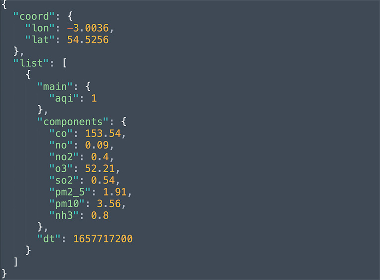
Enrich your Photos with Historic Air Quality Data
Developers August 05, 2022
In this post I will show you how to find the air quality at the time and location a photo was taken.
-
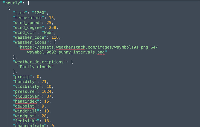
Enrich your Photos with Historic Weather Data
Developers July 29, 2022
In this post I will show you how to find the weather conditions at the time and location a photo was taken.
-
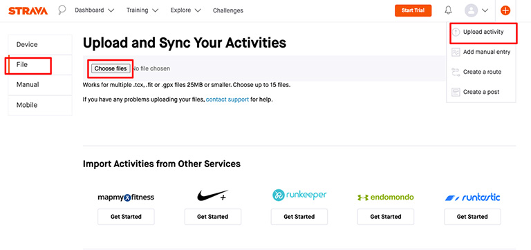
Turn timelapse photos or video footage into Strava activities
Developers July 22, 2022
Use the telemetry captured by your camera to automatically create and upload an activity to Strava.
-
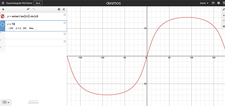
Automatic horizon leveling of GoPro 360 photos (with no GPMD) (Part 2)
Developers July 07, 2022
Understanding the geometry of an equirectangular image and training a computer to detect the horizon.
-
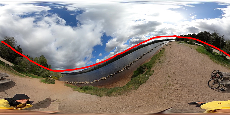
Automatic horizon leveling of GoPro 360 photos (with no GPMD) (Part 1)
Developers July 01, 2022
Analysing what camera roll looks like in equirectangular photos and how to account for it.
-
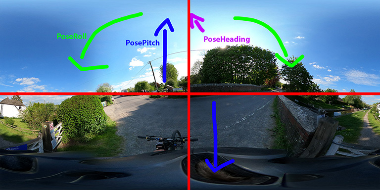
Using GSpherical and GPano Metadata tags to adjust for roll, pitch and heading
Developers June 24, 2022
In this post I will show you how to use these tags to ensure your equirectangular images and videos are loaded correctly in viewers.
-
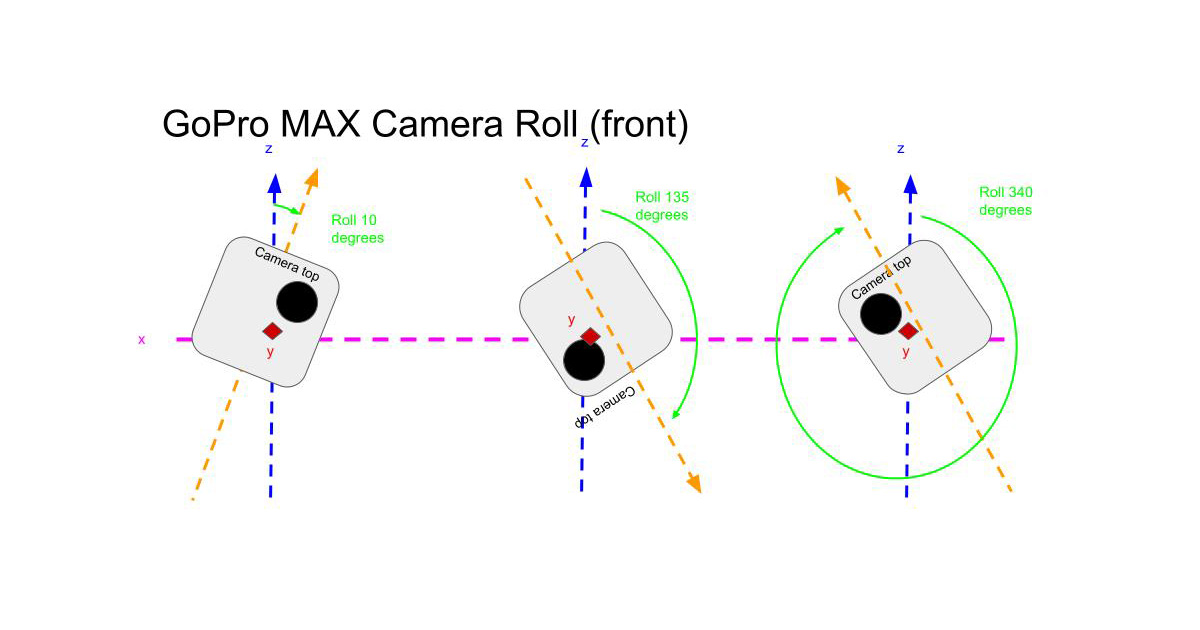
Automatic horizon and pitch leveling of GoPro 360 videos
Developers June 17, 2022
A proof-of-concept to dynamically adjust for camera roll and pitch in equirectangular videos.
-
Using ffmpeg to dynamically adjust the yaw of GoPro 360 videos (Part 3)
Developers June 10, 2022
Using calculated heading values to ensure videos are shown in 360 players facing the same direction as they were shot.
-
Using ffmpeg to dynamically adjust the yaw of GoPro 360 videos (Part 2)
Developers June 03, 2022
Converting GoPro telemetry into magnetic heading values to ensure videos are shown in 360 players facing the same direction as they were shot.
-
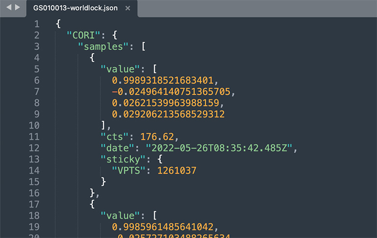
Using ffmpeg to dynamically adjust the yaw of GoPro 360 videos (Part 1)
Developers May 27, 2022
Understand the telemetry needed to ensure your 360 videos are loaded in 360 players facing the same direction as they were shot.
-
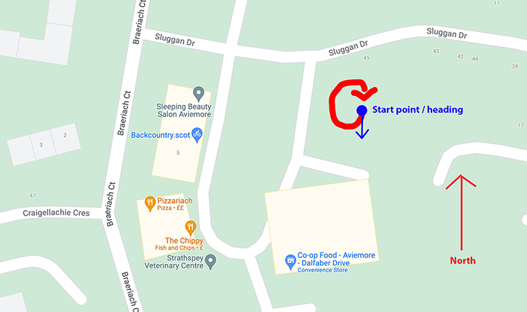
Adjusting the yaw of an equirectangular 360 photo using ImageMagick
Developers May 20, 2022
Ensure your 360 photos are loaded in 360 viewers facing the same direction as they were shot.
-

Creating a Video File Ready to be Uploaded to the Google Street View API
Developers May 13, 2022
Using ffmpeg to create a video file with accompanying GPS telemetry.
-
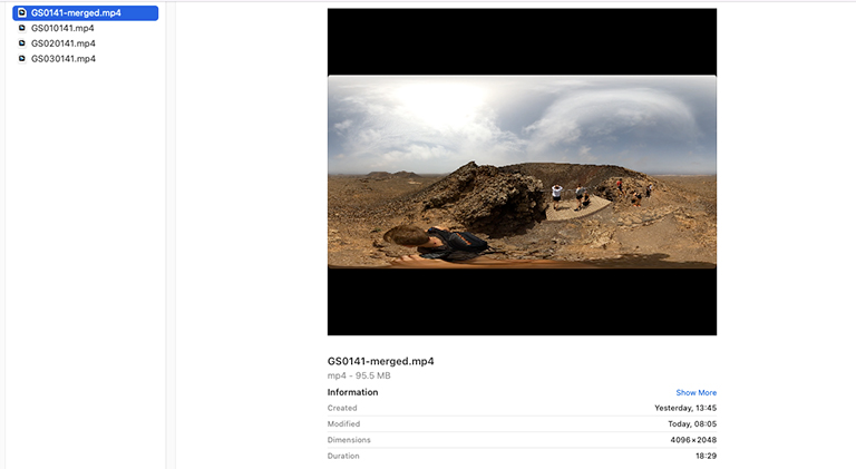
Merging Chaptered GoPro Videos Whilst Preserving Telemetry
Developers April 29, 2022
Use ffmpeg to create full length GoPro footage which retains full GPS information.
-
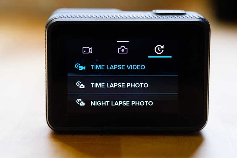
Turning a GoPro TimeLapse Video into Photo Frames
Developers April 22, 2022
TimeLapse video mode is perfect for creating beautiful TimeLapses, but poses some unique challenges when trying to split them into individual frames.
-
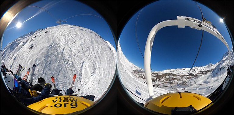
Using ffmpeg to Process Raw GoPro Fusion Dual Fisheyes to Equirectangular Projections
Developers April 15, 2022
In our continued effort to avoid reliance on GoPro software, I look at how ffmpeg can be used to process the GoPro Fusion’s Dual Fisheyes videos to a single equirectangular video.
-
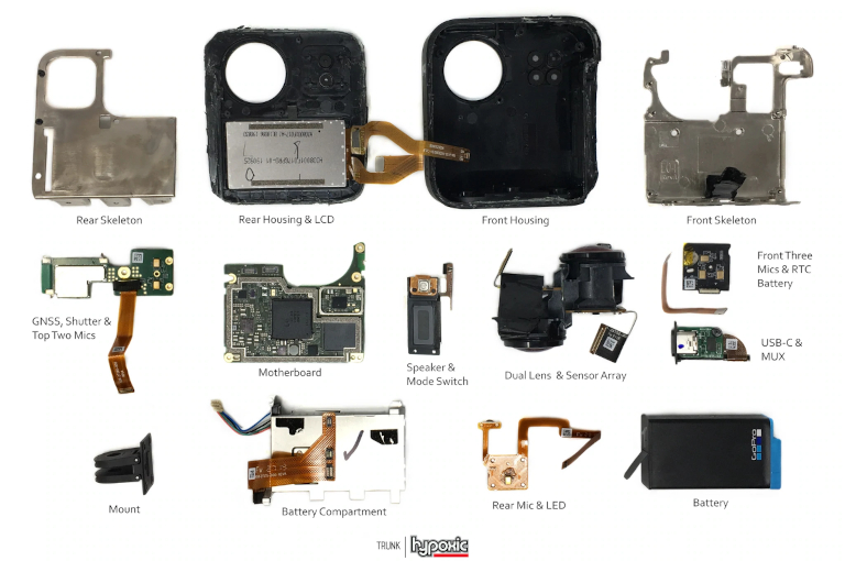
The Evolution of GoPro Camera Sensors
Developers April 08, 2022
And the data they produce in the GPMF stream.
Videos shot on GoPro HERO5 (and newer), Fusion, and MAX cameras all contain a GPMF telemetry track in their metadata.
-
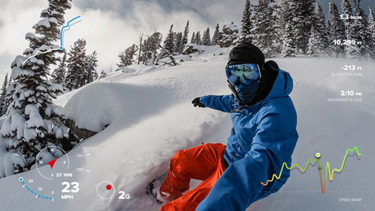
Getting started with GoPro Telemetry to parse GPMD
Developers April 01, 2022
A more comprehensive alternative to exiftool when working with GPMD.
-
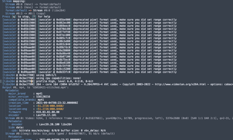
Using ffmpeg to Process Raw GoPro MAX .360's into Equirectangular Projections
Developers March 18, 2022
In our continued effort to avoid reliance on GoPro software, I look at how ffmpeg can be used to process GoPro EAC projected videos (.360’s) to equirectangular projections.
-
FFmpeg Cheat Sheet for virtual 360 tours
Developers March 11, 2022
A guide that shows some of the commands we use most for processing 360 virtual tour videos.
-
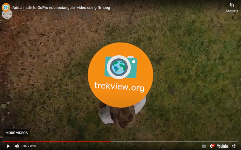
Using ffmpeg to overlay a custom nadir or watermark on GoPro videos
Developers February 25, 2022
Add your logo to the nadir of an equirectangular video or as a watermark to HERO videos.
-
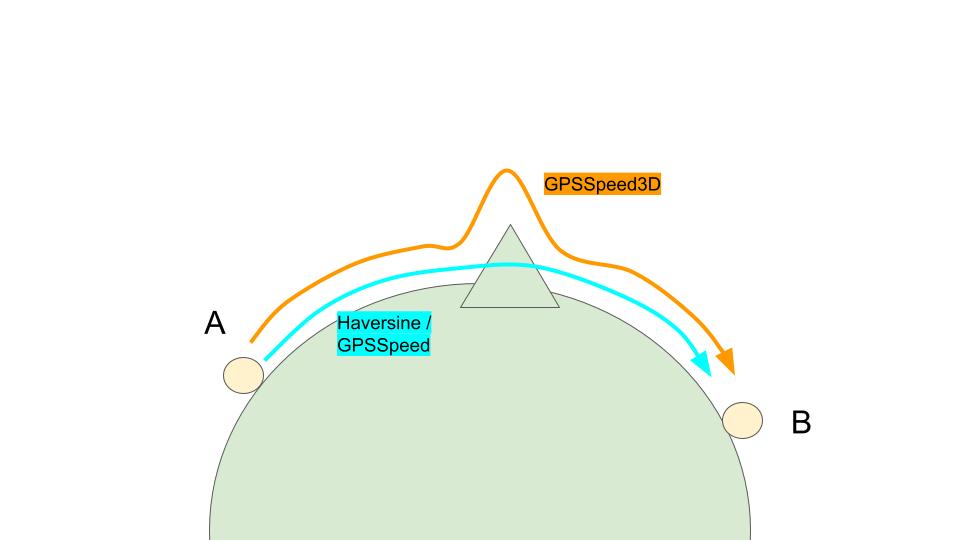
Setting the right frame rate for video extraction using ffmpeg
Developers February 11, 2022
How we optimised the process of turning a video into frames using speed of travel as a variable.
-
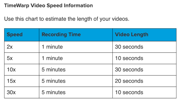
Turning a GoPro TimeWarp Video into Photo Frames
Developers February 04, 2022
TimeWarp videos are perfect for creating beautiful TimeLapses, but pose some unique challenges when trying to split them into individual frames.
-
The Quirks of GoPro Metadata (GPMD)
Developers January 28, 2022
What we’ve learned whilst building a library of GoPro camera test cases.
-
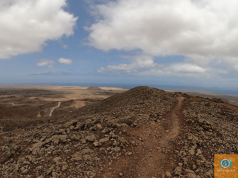
How to Add a Custom Watermark to a Photo Programmatically
Developers January 14, 2022
Automate the process of adding a custom branded watermark to all your timelapse photos using Imagemagick
-
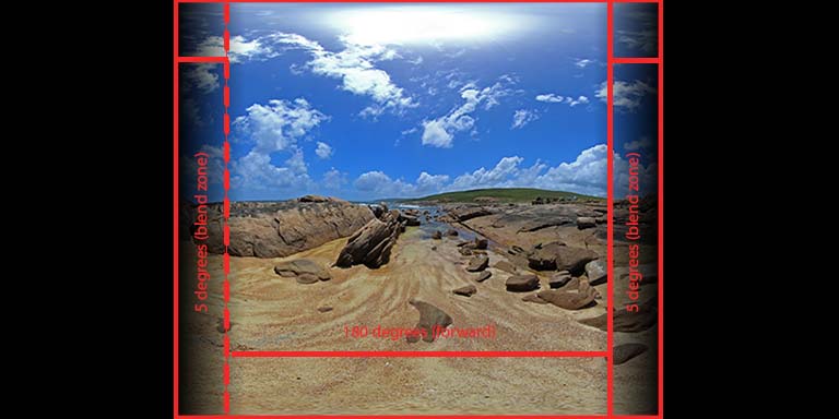
Stitching GoPro Fusion Images Without GoPro Fusion Studio (Part 4)
Developers January 07, 2022
Taking what we’ve learned over the last 3 weeks and putting it all together to create a script to convert 2 GoPro Fusion fisheye to one equirectangular image.
-
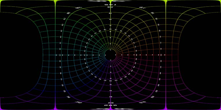
Stitching GoPro Fusion Images Without GoPro Fusion Studio (Part 3)
Developers December 31, 2021
Preparing to create an equirectangular projection from two GoPro Fusion fisheye images.
-
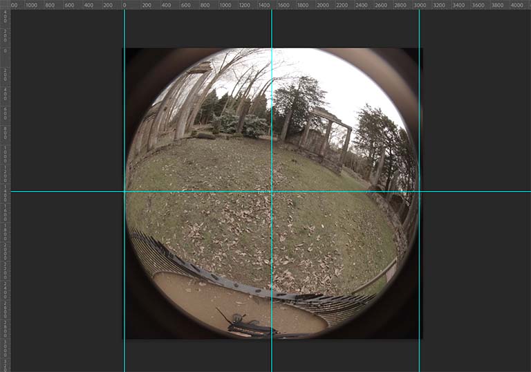
Stitching GoPro Fusion Images Without GoPro Fusion Studio (Part 2)
Developers December 24, 2021
Understanding the Fusion’s fisheye projections with the aim of turning them into a single equirectangular image.
-
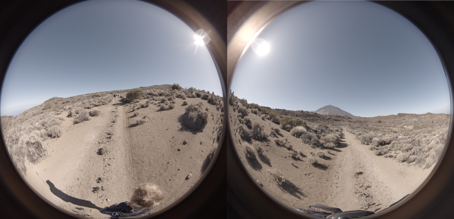
Stitching GoPro Fusion Images Without GoPro Fusion Studio (Part 1)
Developers December 17, 2021
A deeper look into GoPro Fusion fish-eye images (with the aim of reducing our reliance on GoPro’s software).
-
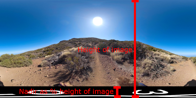
How to Add a Custom Nadir to a 360 Photo Programmatically (using ImageMagick)
Developers October 22, 2021
Automate the process of adding a custom branded nadir to all your equirectangular photos using Python and Imagemagick.
-
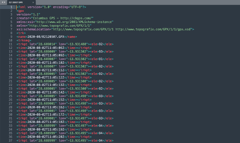
Lessons learned when geotagging timelapse photos and video frames
Developers October 15, 2021
Exiftool is a powerful bit of software for geotagging photos, understanding how the process works will save you a few headaches.
-
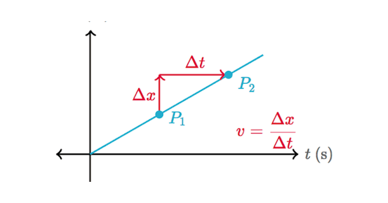
Using trigonometry to calculate north, east, and vertical velocity between photos
Developers October 08, 2021
Speed = distance / time. But what about speed along the x (east, west), y (north, south), z (altitude) axes?
-
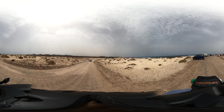
Reverse Engineering GoPro's 360 Video File Format (Part 4)
Developers October 01, 2021
In the final part of this series, I convert a GoPro EAC projected frame into an equirectangular projection to be displayed in other software.
-
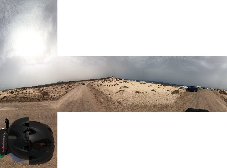
Reverse Engineering GoPro's 360 Video File Format (Part 3)
Developers September 24, 2021
I continue taking apart a .360 file, and trying to rebuild it with a equirectangular projection (without GoPro software).
-
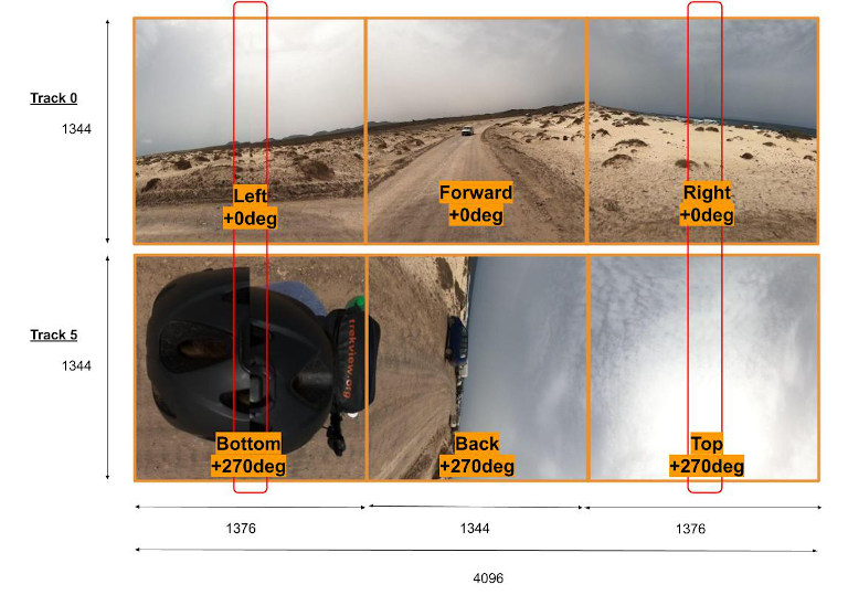
Reverse Engineering GoPro's 360 Video File Format (Part 2)
Developers September 17, 2021
Taking apart a .360 file to reveal its contents to try and understand how it can be processed (without GoPro software).
-
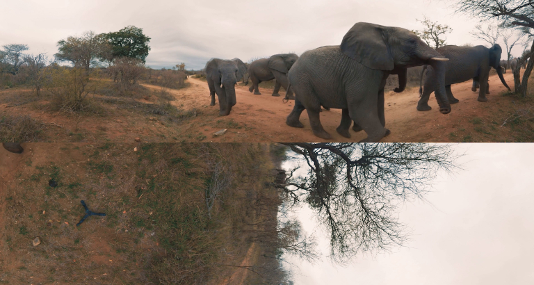
Reverse Engineering GoPro's 360 Video File Format (Part 1)
Developers September 10, 2021
A deeper look into GoPro’s proprietary .360 video format (with the aim of reducing our reliance on GoPro’s software).
-
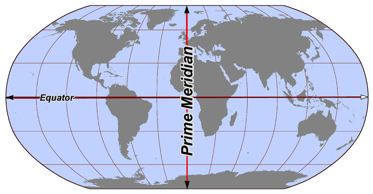
How to read decimal latitude and longitude values like a computer
Developers August 27, 2021
We are often reliant on GPS co-ordinates being delivered to our devices for locating places. With a little practice it’s not hard to read a decimal latitude and longitude value to determine a rough position.
-
An Introduction to the Camera Motion Metadata (CAMM) standard (video telemetry)
Developers August 20, 2021
With the help of a 360 video shot using an Insta360 Pro2, I take a look at Google’s CAMM video telemetry standard.
-
How to Create a 360 Video from a Timelapse of 360 Images (using ffmpeg)
Developers August 13, 2021
A lesson, mostly, in wrangling metadata to ensure proper playback of 360 videos created from a series of photos.
-
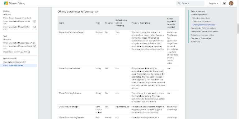
What are XMP Namespaces?
Developers August 06, 2021
Adobe’s eXtensible Metadata Platform (XMP) is a labeling technology that allows you to embed data about a file, known as metadata, into the file itself.
-
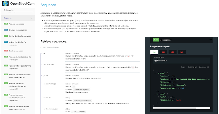
A Quick Start Guide to the KartaView API
Developers July 30, 2021
Here are my notes about the KartaView API from my research planning an integration.
-
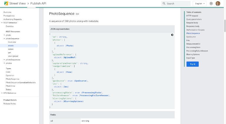
Upload a Video to the Street View Publish API
Developers July 09, 2021
All third-party Street View tools are built around the Google Street View Publish API. Here’s a closer look at how it works for uploading long sequences.
-
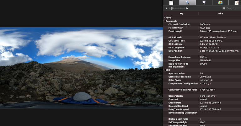
Turning a 360 Video into Timelapse Images (Part 2/2)
Developers February 26, 2021
In the second part of this post I will show you how to add metadata to images previously extracted from frames.
-
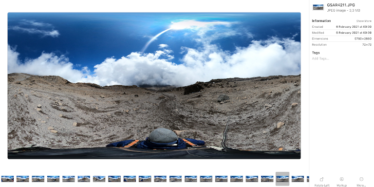
Turning a 360 Video into Timelapse Images (Part 1/2)
Developers February 19, 2021
In the first part of this post I will show you how to turn a video into a series of images for more flexible editing options.
-
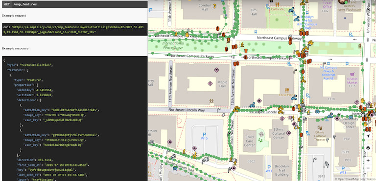
Playing with the Mapillary API
Developers September 18, 2020
A quick look at some of the API queries we’ve used against the Mapillary API.
-
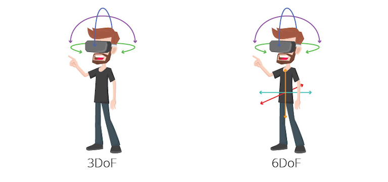
What is an IMU?
Developers July 17, 2020
360 Cameras are full of sensors (and not just image sensors).
-

How does GPS work?
Developers July 10, 2020
Learn how GPS works and why some receivers are more accurate than others.
-
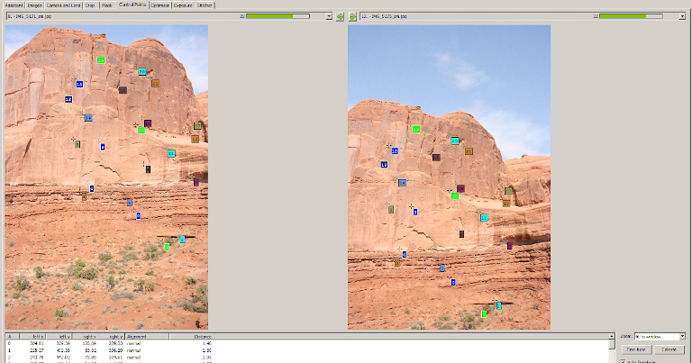
How Does 360 Stitching Software Work?
Developers July 03, 2020
An ELI5 description of how software takes 2 or more photos to create a 360 image.
-
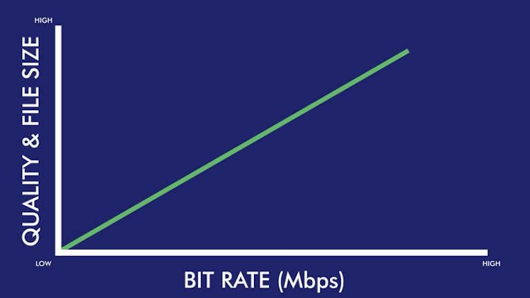
FPS, Bit rate, Compression and 360 Video Quality
Developers June 12, 2020
The image quality of video frames can vary significantly between two cameras offering the same resolution, but why?
-
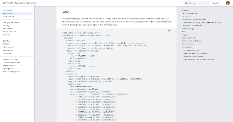
Turning a 360 Timelapse or Video into a GPX or KML track using exiftool
Developers May 22, 2020
Here’s how to use the GPS points inside your 360 timelapses or videos with tools like Strava and Google Earth.
-
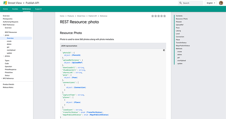
Google Street View Publish API - Quick Start Guide
Developers May 15, 2020
All third-party Street View tools are built around the Google Street View Publish API. Here’s a closer look at how it works for uploading short sequences.
-
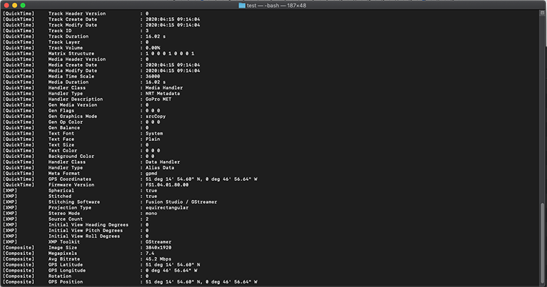
An Introduction to the GoPro Metadata Format (GPMF) standard (video telemetry)
Developers May 08, 2020
With the help of a 360 video shot using a GoPro Fusion, I take a look at GoPro’s GPMF video telemetry standard.
-
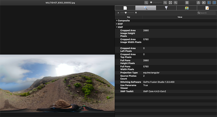
A deeper look into a 360 photo and the metadata it holds
Developers May 01, 2020
Every photo you take is filled with metadata. Here’s why it’s important for outdoor 360 street-level photography.
-
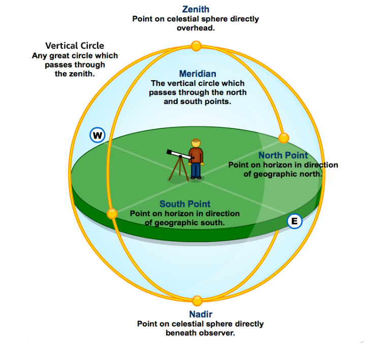
What is a Nadir? What is a Zenith?
Developers March 13, 2020
In short, directly below, and directly above, respectively.
-
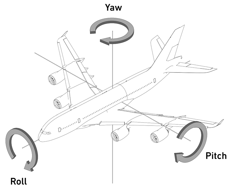
Yaw, Pitch, Roll
Developers March 06, 2020
Three spatial concepts that are important to understand in 360 photography.
-
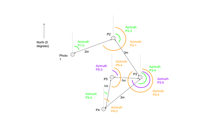
What Direction are you Facing?
Developers January 17, 2020
North, South, East or, West? Calculating bearings between photos.
-
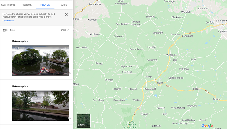
What is a Place ID?
Developers December 06, 2019
And how to make sure you’re not missing out on Google Local Guide points from Street View photos.
-
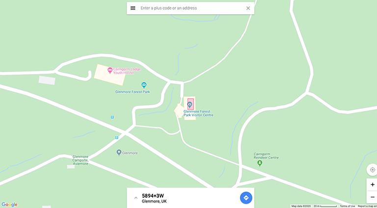
Trails Don't have Addresses
Developers November 08, 2019
Using location codes to map even the most remote hiking trails.

